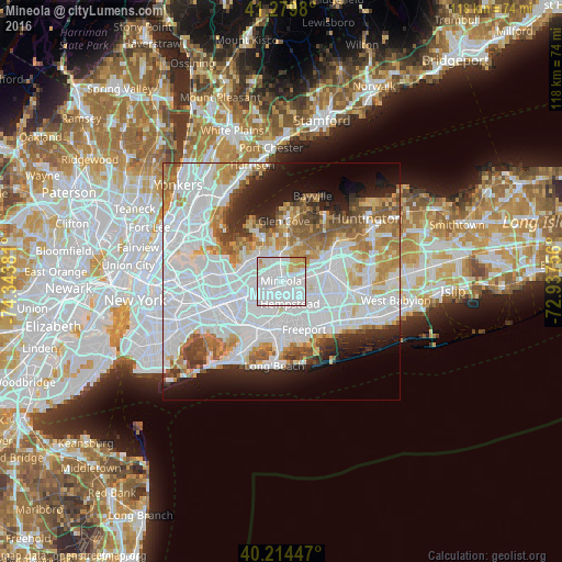
Mineola night lights from space
Night Light of Mineola (New York) from space (United States) Src. Average luminocity for 10x10km area is 97.1981% and for 50x50km: 63.9906%.
Analysis of Mineola night lights 2016
Square area 10x10 km:
 64.29%
90-99
23.54%80-89
6.33%70-79
5.68%60-69
0.16%50-59
0%40-49
0%30-39
0%20-29
0%10-19
0%0-9
0%Square area 50x50 km:
30.24%90-99
14.05%80-89
4.75%70-79
5.71%60-69
6.07%50-59
4.66%40-49
3.36%30-39
3.06%20-29
5.35%10-19
7.94%0-9
14.83%Clear (daylight) street map image can be seen on geolist.org.
Map coordinates:
41° 16' 47.3" North, 74° 20' 37.7" West
40° 44' 57.4" North, 73° 38' 26.4" West
40° 12' 52.1" North, 72° 56' 15.2" West
Some cities around Mineola sort by population:
• Garden City
2.6 km =1.6 mi,  167°
167°
• Westbury
4.5 km =2.8 mi,  80°
80°
• New Hyde Park
4.3 km =2.7 mi,  248°
248°
• Garden City Park
2.1 km =1.3 mi,  243°
243°
• Williston Park
0.9 km =0.6 mi,  336°
336°
• Roslyn Heights
4.4 km =2.7 mi,  352°
352°
• East Garden City
4.1 km =2.5 mi,  119°
119°
• Albertson
2.7 km =1.7 mi,  355°
355°
5127134 (p: 19,139)
Sources (retrieved 2019-11-25):
» Earth at Night: Flat Maps 2012, 2016