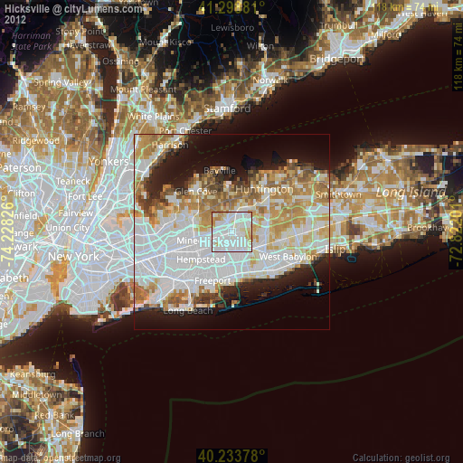
Hicksville night lights from space
Night Light of Hicksville (New York) from space (United States) Src. Average luminocity for 10x10km area is 95.099% and for 50x50km: 57.6033%.

Analysis of Hicksville night lights 2016
Square area 10x10 km:
 46.1%
46.1%90-99
37.82%80-89
5.19%70-79
6.01%60-69
4.87%50-59
0%40-49
0%30-39
0%20-29
0%10-19
0%0-9
0%Square area 50x50 km:
21.41%90-99
13.34%80-89
6.04%70-79
7.21%60-69
6.83%50-59
4.86%40-49
3.2%30-39
3.04%20-29
6.36%10-19
8.94%0-9
18.77%Clear (daylight) street map image can be seen on geolist.org.
Map coordinates:
41° 17' 55.7" North, 74° 13' 41.7" West
40° 46' 6.3" North, 73° 31' 30.5" West
40° 14' 1.6" North, 72° 49' 19.2" West
Some cities around Hicksville sort by population:
• Levittown
4.8 km =3 mi,  169°
169°
• Plainview
4.9 km =3 mi,  79°
79°
• Bethpage
4.5 km =2.8 mi,  126°
126°
• Westbury
5.5 km =3.4 mi,  254°
254°
• New Cassel
3.9 km =2.4 mi, 254°
• Jericho
2.9 km =1.8 mi,  334°
334°
• Salisbury
3.9 km =2.4 mi,  229°
229°
• Old Bethpage
6.1 km =3.8 mi,  96°
96°
5120656 (p: 41,547)
Sources (retrieved 2019-11-25):
» Earth at Night: Flat Maps 2012, 2016