Natchitoches night lights from space
Night Light of Natchitoches (Louisiana) from space (United States) Src. Average luminocity for 10x10km area is 39.7344% and for 50x50km: 2.6216%.
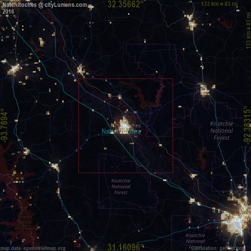
Analysis of Natchitoches night lights 2016
Square area 10x10 km:
 4.58%
4.58%90-99
8.61%80-89
6.04%70-79
3.48%60-69
8.06%50-59
6.23%40-49
2.38%30-39
5.13%20-29
5.68%10-19
40.48%0-9
9.34%Square area 50x50 km:
0.2%90-99
0.39%80-89
0.24%70-79
0.28%60-69
0.39%50-59
0.41%40-49
0.38%30-39
0.53%20-29
0.48%10-19
2.59%0-9
94.1%Clear (daylight) street map image can be seen on geolist.org.
Map coordinates:
32° 21' 23.8" North, 93° 47' 21.8" West
31° 45' 38.6" North, 93° 5' 10.6" West
31° 9' 39.5" North, 92° 22' 59.3" West
Some cities around Natchitoches sort by population:
• Alexandria
78.7 km =48.9 mi,  129°
129°
• Ruston
94.7 km =58.8 mi,  26°
26°
• Pineville
78.7 km =48.9 mi, 128°
• Minden
96.9 km =60.2 mi,  348°
348°
• Fort Polk South
79.9 km =49.6 mi,  188°
188°
• Leesville
70.6 km =43.9 mi, 193°
• Red Chute
101.4 km =63 mi,  330°
330°
• Grambling
92.2 km =57.3 mi,  22°
22°
4334720 (p: 18,365)
Sources (retrieved 2019-11-25):
» Earth at Night: Flat Maps 2012, 2016