Leesville night lights from space
Night Light of Leesville (Louisiana) from space (United States) Src. Average luminocity for 10x10km area is 26.826% and for 50x50km: 3.9086%.
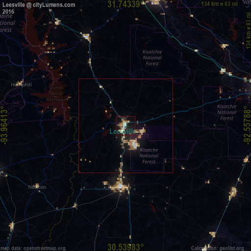
Analysis of Leesville night lights 2016
Square area 10x10 km:
 2.2%
2.2%90-99
2.93%80-89
3.66%70-79
3.85%60-69
3.11%50-59
4.03%40-49
3.11%30-39
6.23%20-29
3.85%10-19
40.11%0-9
26.92%Square area 50x50 km:
0.2%90-99
0.35%80-89
0.65%70-79
0.41%60-69
0.53%50-59
0.77%40-49
0.59%30-39
0.68%20-29
0.8%10-19
4.07%0-9
90.94%Clear (daylight) street map image can be seen on geolist.org.
Map coordinates:
31° 44' 36.2" North, 93° 57' 50.9" West
31° 8' 36.7" North, 93° 15' 39.6" West
30° 32' 23.4" North, 92° 33' 28.4" West
Some cities around Leesville sort by population:
• Alexandria
79.8 km =49.6 mi,  76°
76°
• Natchitoches
70.6 km =43.9 mi,  13°
13°
• Pineville
81.1 km =50.4 mi, 75°
• Moss Bluff
93.7 km =58.2 mi,  175°
175°
• DeRidder
33.2 km =20.6 mi, 184°
• Fort Polk South
11.1 km =6.9 mi,  157°
157°
• Oakdale
67.9 km =42.2 mi,  122°
122°
• Jasper
74.4 km =46.2 mi,  250°
250°
4330740 (p: 6,333)
Sources (retrieved 2019-11-25):
» Earth at Night: Flat Maps 2012, 2016