Grambling night lights from space
Night Light of Grambling (Louisiana) from space (United States) Src. Average luminocity for 10x10km area is 30.815% and for 50x50km: 5.2747%.
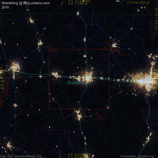
Analysis of Grambling night lights 2016
Square area 10x10 km:
 0.73%
0.73%90-99
3.3%80-89
4.95%70-79
5.68%60-69
6.23%50-59
6.23%40-49
2.56%30-39
8.42%20-29
10.44%10-19
23.63%0-9
27.84%Square area 50x50 km:
0.34%90-99
0.77%80-89
0.84%70-79
0.67%60-69
0.73%50-59
0.84%40-49
0.54%30-39
1.05%20-29
1.28%10-19
3.63%0-9
89.31%Clear (daylight) street map image can be seen on geolist.org.
Map coordinates:
33° 7' 6.7" North, 93° 25' 1.8" West
32° 31' 39.5" North, 92° 42' 50.5" West
31° 55' 58.3" North, 92° 0' 39.3" West
Some cities around Grambling sort by population:
• Monroe
55.8 km =34.7 mi,  92°
92°
• Ruston
7.2 km =4.5 mi, 93°
• El Dorado
75.7 km =47 mi,  3°
3°
• West Monroe
53.1 km =33 mi, 91°
• Minden
54.6 km =33.9 mi,  280°
280°
• Claiborne
49 km =30.4 mi, 91°
• Bastrop
80.1 km =49.8 mi,  69°
69°
• Red Chute
84.3 km =52.4 mi,  272°
272°
4326074 (p: 5,209)
Sources (retrieved 2019-11-25):
» Earth at Night: Flat Maps 2012, 2016