Alexandria night lights from space
Night Light of Alexandria (Louisiana) from space (United States) Src. Average luminocity for 10x10km area is 75.3829% and for 50x50km: 10.2909%.
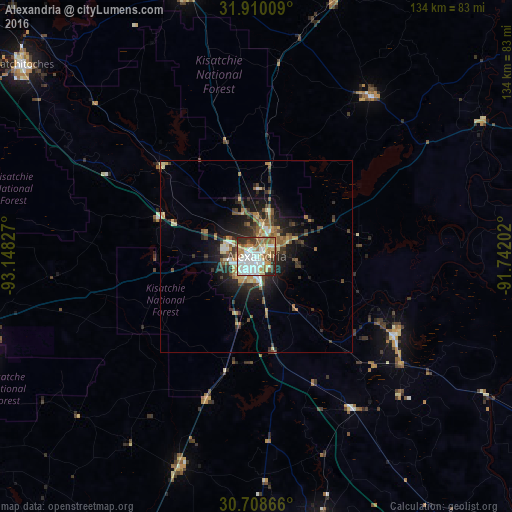
Analysis of Alexandria night lights 2016
Square area 10x10 km:
 21.85%
90-99
19.93%80-89
11.01%70-79
9.62%60-69
9.62%50-59
10.14%40-49
2.8%30-39
9.44%20-29
5.24%10-19
0.35%0-9
0%Square area 50x50 km:
1.24%90-99
1.31%80-89
1.64%70-79
1.18%60-69
1.3%50-59
1.78%40-49
1.38%30-39
2.41%20-29
2.76%10-19
6.22%0-9
78.79%Clear (daylight) street map image can be seen on geolist.org.
Map coordinates:
31° 54' 36.3" North, 93° 8' 53.8" West
31° 18' 40.6" North, 92° 26' 42.5" West
30° 42' 31.2" North, 91° 44' 31.3" West
Some cities around Alexandria sort by population:
• Natchitoches
78.7 km =48.9 mi,  309°
309°
• Pineville
1.6 km =1 mi,  39°
39°
• Eunice
90.9 km =56.5 mi,  178°
178°
• Fort Polk South
78.8 km =49 mi,  248°
248°
• Oakdale
58.8 km =36.5 mi,  200°
200°
• Ville Platte
71.3 km =44.3 mi,  166°
166°
• Leesville
79.8 km =49.6 mi,  256°
256°
• Marksville
41.4 km =25.7 mi,  119°
119°
4314550 (p: 47,889)
Sources (retrieved 2019-11-25):
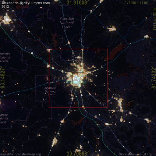
» Earth at Night: Flat Maps 2012, 2016