Naperville night lights from space
Night Light of Naperville (Illinois) from space (United States) Src. Average luminocity for 10x10km area is 88.789% and for 50x50km: 76.3931%.
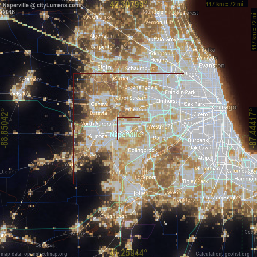
Analysis of Naperville night lights 2016
Square area 10x10 km:
 23.54%
90-99
30.52%80-89
21.43%70-79
17.69%60-69
6.82%50-59
0%40-49
0%30-39
0%20-29
0%10-19
0%0-9
0%Square area 50x50 km:
20.05%90-99
20.43%80-89
14.42%70-79
12.76%60-69
11.62%50-59
7.45%40-49
2.89%30-39
2.31%20-29
2.75%10-19
2.93%0-9
2.39%Clear (daylight) street map image can be seen on geolist.org.
Map coordinates:
42° 18' 28.8" North, 88° 51' 1.5" West
41° 47' 9.1" North, 88° 8' 50.2" West
41° 15' 34" North, 87° 26' 39" West
Some cities around Naperville sort by population:
• Bolingbrook
11.7 km =7.3 mi,  145°
145°
• Wheaton
9.5 km =5.9 mi,  20°
20°
• Downers Grove
11.6 km =7.2 mi,  77°
77°
• Woodridge
9.1 km =5.7 mi,  118°
118°
• West Chicago
12 km =7.5 mi,  336°
336°
• Lisle
6.2 km =3.9 mi,  74°
74°
• Warrenville
4.2 km =2.6 mi,  328°
328°
• Winfield
8.5 km =5.3 mi,  352°
352°
4903279 (p: 147,100)
Sources (retrieved 2019-11-25):
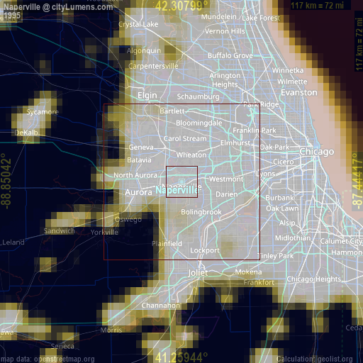
» NASA, Earths city lights 1995
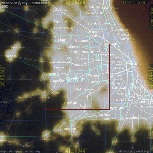
» NASA city lights 2003
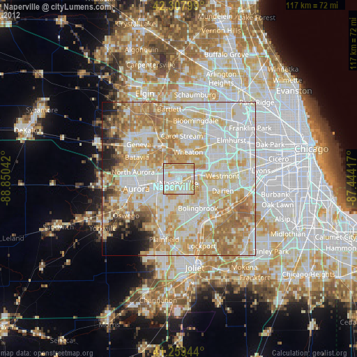
» Earth at Night: Flat Maps 2012, 2016