Wheaton night lights from space
Night Light of Wheaton (Illinois) from space (United States) Src. Average luminocity for 10x10km area is 82.9143% and for 50x50km: 84.1609%.
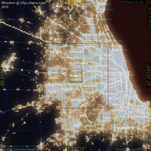
Analysis of Wheaton night lights 2016
Square area 10x10 km:
 14.6%
14.6%90-99
18.1%80-89
22.7%70-79
31.11%60-69
13.02%50-59
0.48%40-49
0%30-39
0%20-29
0%10-19
0%0-9
0%Square area 50x50 km:
26.27%90-99
25.12%80-89
15.02%70-79
12.11%60-69
10.2%50-59
6.04%40-49
2.41%30-39
1.33%20-29
1.43%10-19
0.08%0-9
0%Clear (daylight) street map image can be seen on geolist.org.
Map coordinates:
42° 23' 15.4" North, 88° 48' 36.5" West
41° 51' 58.1" North, 88° 6' 25.2" West
41° 20' 25.4" North, 87° 24' 14" West
Some cities around Wheaton sort by population:
• Lombard
8.4 km =5.2 mi,  79°
79°
• Carol Stream
5.6 km =3.5 mi,  335°
335°
• Glendale Heights
6.4 km =4 mi,  32°
32°
• Glen Ellyn
3.5 km =2.2 mi,  69°
69°
• West Chicago
8.3 km =5.2 mi,  284°
284°
• Lisle
7.7 km =4.8 mi,  159°
159°
• Warrenville
7.7 km =4.8 mi,  225°
225°
• Winfield
4.5 km =2.8 mi,  263°
263°
4916288 (p: 53,715)
Sources (retrieved 2019-11-25):
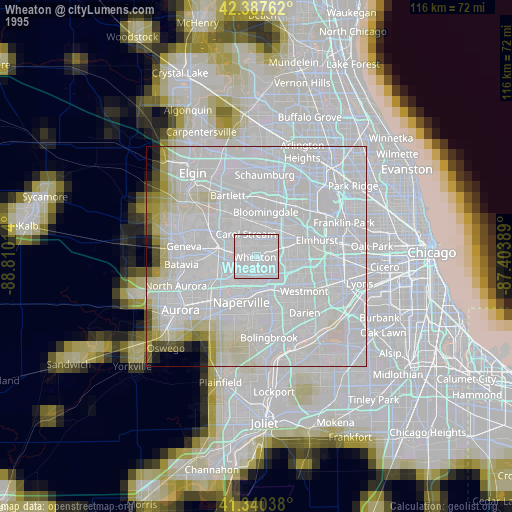
» NASA, Earths city lights 1995
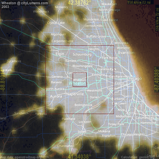
» NASA city lights 2003
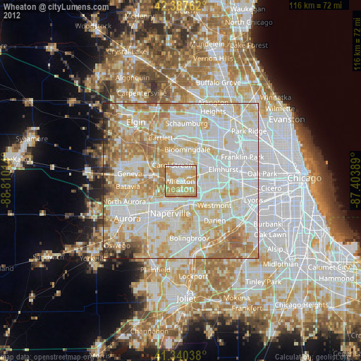
» Earth at Night: Flat Maps 2012, 2016