Lisle night lights from space
Night Light of Lisle (Illinois) from space (United States) Src. Average luminocity for 10x10km area is 87.0114% and for 50x50km: 83.4805%.
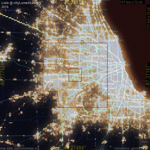
Analysis of Lisle night lights 2016
Square area 10x10 km:
 20.78%
90-99
23.7%80-89
23.86%70-79
28.08%60-69
3.57%50-59
0%40-49
0%30-39
0%20-29
0%10-19
0%0-9
0%Square area 50x50 km:
27.69%90-99
23.79%80-89
14.13%70-79
12.28%60-69
10.86%50-59
5.72%40-49
1.59%30-39
0.89%20-29
1.05%10-19
1.04%0-9
0.95%Clear (daylight) street map image can be seen on geolist.org.
Map coordinates:
42° 19' 23.3" North, 88° 46' 40.5" West
41° 48' 4.1" North, 88° 4' 29.2" West
41° 16' 29.4" North, 87° 22' 18" West
Some cities around Lisle sort by population:
• Naperville
6.2 km =3.9 mi,  254°
254°
• Wheaton
7.7 km =4.8 mi,  339°
339°
• Downers Grove
5.3 km =3.3 mi,  80°
80°
• Woodridge
6.4 km =4 mi,  161°
161°
• Glen Ellyn
8.5 km =5.3 mi,  4°
4°
• Westmont
8.2 km =5.1 mi,  94°
94°
• Warrenville
8.4 km =5.2 mi,  282°
282°
• Winfield
9.8 km =6.1 mi,  313°
313°
4900080 (p: 22,964)
Sources (retrieved 2019-11-25):
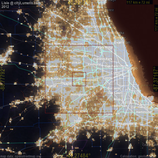
» Earth at Night: Flat Maps 2012, 2016