Woodridge night lights from space
Night Light of Woodridge (Illinois) from space (United States) Src. Average luminocity for 10x10km area is 87.1023% and for 50x50km: 82.8796%.
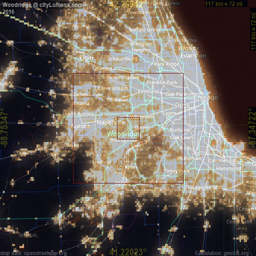
Analysis of Woodridge night lights 2016
Square area 10x10 km:
 18.18%
90-99
25.49%80-89
27.44%70-79
26.3%60-69
2.6%50-59
0%40-49
0%30-39
0%20-29
0%10-19
0%0-9
0%Square area 50x50 km:
27.64%90-99
22.57%80-89
14.19%70-79
12.94%60-69
11.18%50-59
5.77%40-49
1.21%30-39
0.9%20-29
0.98%10-19
1.2%0-9
1.43%Clear (daylight) street map image can be seen on geolist.org.
Map coordinates:
42° 16' 9.9" North, 88° 45' 12.5" West
41° 44' 49.1" North, 88° 3' 1.2" West
41° 13' 12.8" North, 87° 20' 50" West
Some cities around Woodridge sort by population:
• Naperville
9.1 km =5.7 mi,  298°
298°
• Bolingbrook
5.6 km =3.5 mi,  195°
195°
• Downers Grove
7.6 km =4.7 mi,  25°
25°
• Westmont
8.2 km =5.1 mi,  48°
48°
• Lisle
6.4 km =4 mi,  341°
341°
• Darien
6.4 km =4 mi,  84°
84°
• Lemont
9.1 km =5.7 mi,  153°
153°
• Clarendon Hills
9.7 km =6 mi, 54°
4917089 (p: 33,370)
Sources (retrieved 2019-11-25):
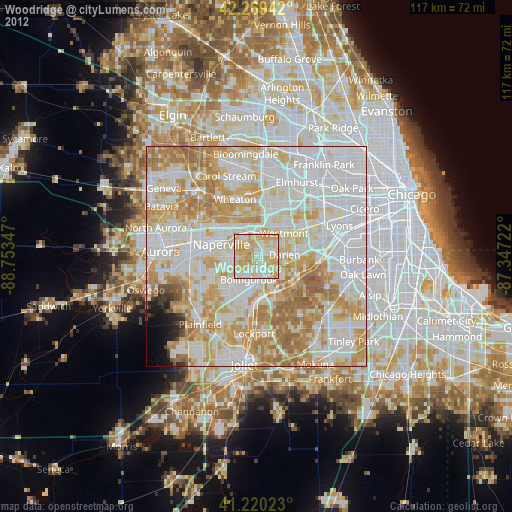
» Earth at Night: Flat Maps 2012, 2016