West Chicago night lights from space
Night Light of West Chicago (Illinois) from space (United States) Src. Average luminocity for 10x10km area is 75.773% and for 50x50km: 73.7538%.
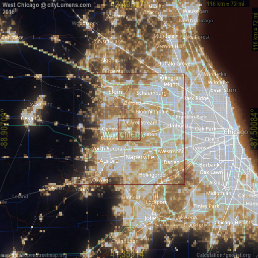
Analysis of West Chicago night lights 2016
Square area 10x10 km:
 9.68%
9.68%90-99
10.79%80-89
15.71%70-79
19.52%60-69
37.46%50-59
6.83%40-49
0%30-39
0%20-29
0%10-19
0%0-9
0%Square area 50x50 km:
19.23%90-99
20.43%80-89
14.2%70-79
11.82%60-69
10.08%50-59
6.45%40-49
3.14%30-39
2.52%20-29
3.32%10-19
4.24%0-9
4.56%Clear (daylight) street map image can be seen on geolist.org.
Map coordinates:
42° 24' 21.9" North, 88° 54' 25.5" West
41° 53' 5.1" North, 88° 12' 14.3" West
41° 21' 32.9" North, 87° 30' 3" West
Some cities around West Chicago sort by population:
• Wheaton
8.3 km =5.2 mi,  104°
104°
• Carol Stream
6.5 km =4 mi,  61°
61°
• Saint Charles
9.3 km =5.8 mi,  290°
290°
• Glen Ellyn
11.4 km =7.1 mi,  94°
94°
• Batavia
9.8 km =6.1 mi,  246°
246°
• Geneva
8.4 km =5.2 mi,  272°
272°
• Warrenville
7.9 km =4.9 mi,  161°
161°
• Winfield
4.4 km =2.7 mi,  125°
125°
4915963 (p: 27,447)
Sources (retrieved 2019-11-25):
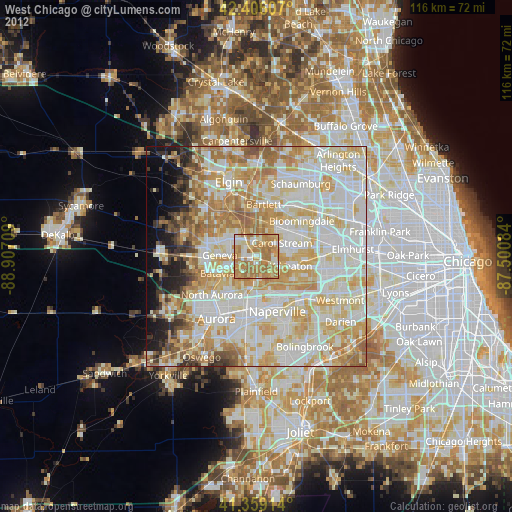
» Earth at Night: Flat Maps 2012, 2016