Winfield night lights from space
Night Light of Winfield (Illinois) from space (United States) Src. Average luminocity for 10x10km area is 76.6302% and for 50x50km: 78.869%.
Analysis of Winfield night lights 2016
Square area 10x10 km:
 10.95%
90-99
11.43%80-89
12.7%70-79
27.62%60-69
32.7%50-59
4.44%40-49
0.16%30-39
0%20-29
0%10-19
0%0-9
0%Square area 50x50 km:
22.26%90-99
22.04%80-89
14.73%70-79
12.39%60-69
10.29%50-59
6.64%40-49
2.97%30-39
2.37%20-29
2.93%10-19
2.59%0-9
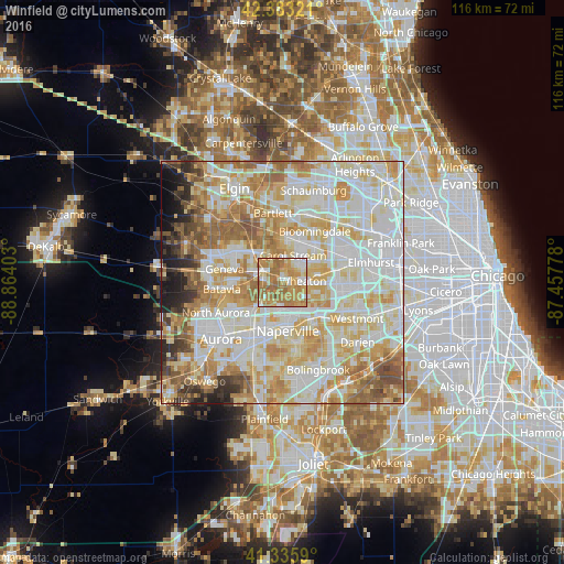
0.79%Clear (daylight) street map image can be seen on geolist.org.
Map coordinates:
42° 22' 59.6" North, 88° 51' 50.5" West
41° 51' 42.1" North, 88° 9' 39.2" West
41° 20' 9.2" North, 87° 27' 28" West
Some cities around Winfield sort by population:
• Naperville
8.5 km =5.3 mi,  172°
172°
• Wheaton
4.5 km =2.8 mi,  83°
83°
• Carol Stream
6.1 km =3.8 mi,  20°
20°
• Glendale Heights
9.9 km =6.2 mi,  53°
53°
• Glen Ellyn
8 km =5 mi, 77°
• West Chicago
4.4 km =2.7 mi,  305°
305°
• Lisle
9.8 km =6.1 mi,  133°
133°
• Warrenville
5 km =3.1 mi,  191°
191°
4916826 (p: 9,657)
Sources (retrieved 2019-11-25):
» Earth at Night: Flat Maps 2012, 2016