Downers Grove night lights from space
Night Light of Downers Grove (Illinois) from space (United States) Src. Average luminocity for 10x10km area is 91.2667% and for 50x50km: 87.1087%.
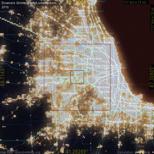

Analysis of Downers Grove night lights 2016
Square area 10x10 km:
 28.64%
90-99
30.45%80-89
27.42%70-79
12.58%60-69
0.91%50-59
0%40-49
0%30-39
0%20-29
0%10-19
0%0-9
0%Square area 50x50 km:
35.53%90-99
23.08%80-89
13.53%70-79
11.46%60-69
9.06%50-59
4.4%40-49
1.05%30-39
0.69%20-29
0.63%10-19
0.53%0-9
0.04%Clear (daylight) street map image can be seen on geolist.org.
Map coordinates:
42° 19' 51.1" North, 88° 42' 51.5" West
41° 48' 32.1" North, 88° 0' 40.2" West
41° 16' 57.7" North, 87° 18' 29" West
Some cities around Downers Grove sort by population:
• Woodridge
7.6 km =4.7 mi,  205°
205°
• Westmont
3.3 km =2.1 mi,  116°
116°
• Lisle
5.3 km =3.3 mi,  260°
260°
• Darien
7 km =4.3 mi,  154°
154°
• Hinsdale
6.2 km =3.9 mi,  98°
98°
• Clarendon Hills
4.8 km =3 mi,  105°
105°
• Willowbrook
7.6 km =4.7 mi, 124°
• Oak Brook
7.3 km =4.5 mi,  68°
68°
4890119 (p: 49,732)
Sources (retrieved 2019-11-25):
» NASA, Earths city lights 1995
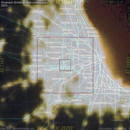
» NASA city lights 2003
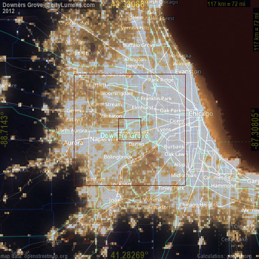
» Earth at Night: Flat Maps 2012, 2016