Monrovia night lights from space
Night Light of Monrovia (California) from space (United States) Src. Average luminocity for 10x10km area is 68.1154% and for 50x50km: 52.264%.
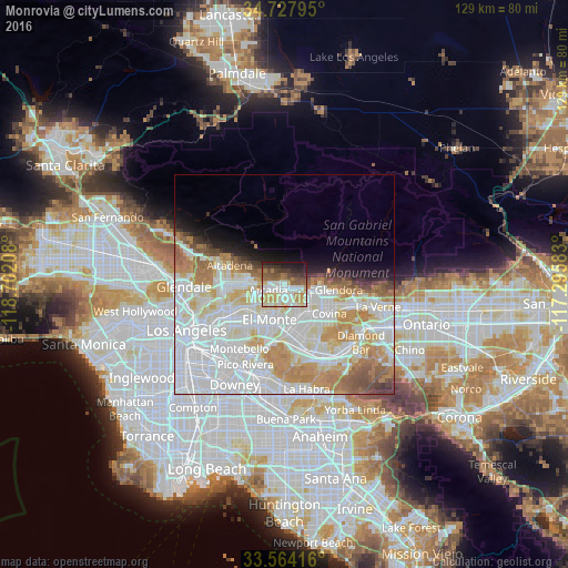
Analysis of Monrovia night lights 2016
Square area 10x10 km:
 15.93%
90-99
17.4%80-89
8.61%70-79
11.9%60-69
7.14%50-59
10.81%40-49
7.14%30-39
7.69%20-29
8.42%10-19
4.95%0-9
0%Square area 50x50 km:
20.29%90-99
14.51%80-89
5.16%70-79
6.87%60-69
5.95%50-59
3.29%40-49
2.14%30-39
1.46%20-29
1.93%10-19
4.05%0-9
34.35%Clear (daylight) street map image can be seen on geolist.org.
Map coordinates:
34° 43' 40.6" North, 118° 42' 7.5" West
34° 8' 53" North, 117° 59' 56.2" West
33° 33' 51" North, 117° 17' 45" West
Some cities around Monrovia sort by population:
• Baldwin Park
7.8 km =4.8 mi,  153°
153°
• Arcadia
3.5 km =2.2 mi,  254°
254°
• Azusa
8.6 km =5.3 mi,  100°
100°
• Temple City
7.1 km =4.4 mi,  230°
230°
• Duarte
2.2 km =1.4 mi,  115°
115°
• Sierra Madre
5.2 km =3.2 mi,  286°
286°
• East Pasadena
7 km =4.3 mi,  260°
260°
• Mayflower Village
3.8 km =2.4 mi,  195°
195°
5374175 (p: 37,463)
Sources (retrieved 2019-11-25):
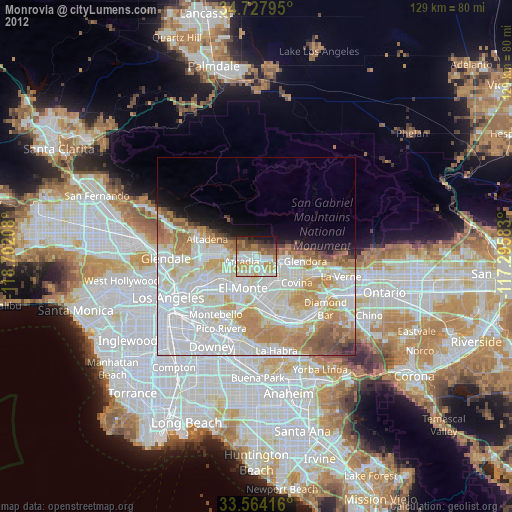
» Earth at Night: Flat Maps 2012, 2016