Duarte night lights from space
Night Light of Duarte (California) from space (United States) Src. Average luminocity for 10x10km area is 73.6612% and for 50x50km: 52.7726%.
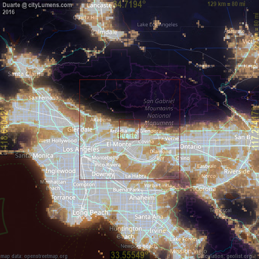
Analysis of Duarte night lights 2016
Square area 10x10 km:
 18.68%
90-99
22.89%80-89
8.97%70-79
10.62%60-69
6.78%50-59
9.34%40-49
7.51%30-39
6.78%20-29
7.14%10-19
1.28%0-9
0%Square area 50x50 km:
19.97%90-99
14.84%80-89
5.38%70-79
6.96%60-69
5.99%50-59
3.36%40-49
2.47%30-39
1.62%20-29
1.95%10-19
4.04%0-9
33.43%Clear (daylight) street map image can be seen on geolist.org.
Map coordinates:
34° 43' 9.8" North, 118° 40' 49.5" West
34° 8' 22" North, 117° 58' 38.2" West
33° 33' 19.8" North, 117° 16' 27" West
Some cities around Duarte sort by population:
• Baldwin Park
6.2 km =3.9 mi,  165°
165°
• Arcadia
5.3 km =3.3 mi,  270°
270°
• Azusa
6.5 km =4 mi,  95°
95°
• Monrovia
2.2 km =1.4 mi,  295°
295°
• Temple City
8.2 km =5.1 mi,  244°
244°
• Vincent
6.7 km =4.2 mi,  132°
132°
• Sierra Madre
7.4 km =4.6 mi,  289°
289°
• Mayflower Village
4 km =2.5 mi,  227°
227°
5344147 (p: 21,990)
Sources (retrieved 2019-11-25):
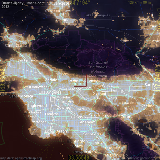
» Earth at Night: Flat Maps 2012, 2016