Temple City night lights from space
Night Light of Temple City (California) from space (United States) Src. Average luminocity for 10x10km area is 93.3187% and for 50x50km: 64.7726%.
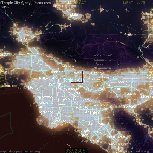
Analysis of Temple City night lights 2016
Square area 10x10 km:
 37%
37%90-99
31.5%80-89
21.43%70-79
9.52%60-69
0.55%50-59
0%40-49
0%30-39
0%20-29
0%10-19
0%0-9
0%Square area 50x50 km:
30.57%90-99
15.54%80-89
5.79%70-79
7.83%60-69
6.4%50-59
3.21%40-49
1.61%30-39
1.31%20-29
1.91%10-19
4.16%0-9
21.69%Clear (daylight) street map image can be seen on geolist.org.
Map coordinates:
34° 41' 14.6" North, 118° 45' 39.5" West
34° 6' 26" North, 118° 3' 28.3" West
33° 31' 23" North, 117° 21' 17" West
Some cities around Temple City sort by population:
• El Monte
5.1 km =3.2 mi,  146°
146°
• Arcadia
4.2 km =2.6 mi,  29°
29°
• Rosemead
3.3 km =2.1 mi,  204°
204°
• San Gabriel
4.6 km =2.9 mi,  254°
254°
• East San Gabriel
3.5 km =2.2 mi,  240°
240°
• San Marino
4.7 km =2.9 mi,  289°
289°
• East Pasadena
3.7 km =2.3 mi,  336°
336°
• Mayflower Village
4.5 km =2.8 mi,  78°
78°
5401469 (p: 36,365)
Sources (retrieved 2019-11-25):
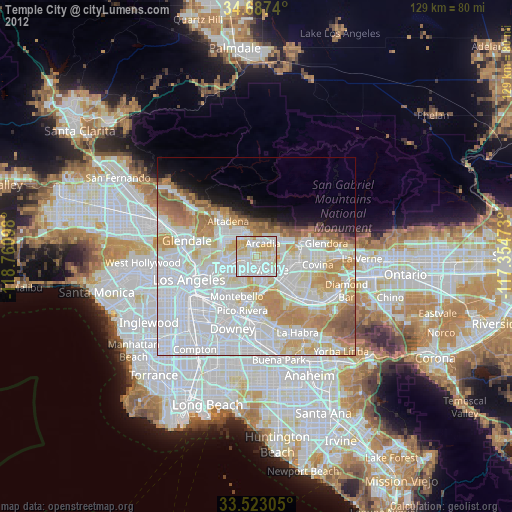
» Earth at Night: Flat Maps 2012, 2016