Arcadia night lights from space
Night Light of Arcadia (California) from space (United States) Src. Average luminocity for 10x10km area is 79.4689% and for 50x50km: 56.0885%.
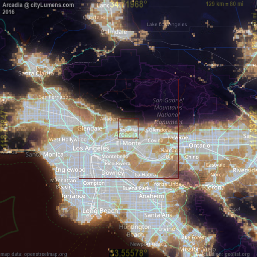

Analysis of Arcadia night lights 2016
Square area 10x10 km:
 19.96%
90-99
22.71%80-89
15.57%70-79
11.54%60-69
9.16%50-59
10.62%40-49
5.49%30-39
3.85%20-29
1.1%10-19
0%0-9
0%Square area 50x50 km:
23.77%90-99
14.64%80-89
5.15%70-79
7.15%60-69
6.2%50-59
3.26%40-49
1.95%30-39
1.35%20-29
1.88%10-19
4.09%0-9
30.56%Clear (daylight) street map image can be seen on geolist.org.
Map coordinates:
34° 43' 10.8" North, 118° 44' 18.5" West
34° 8' 23" North, 118° 2' 7.2" West
33° 33' 20.8" North, 117° 19' 56" West
Some cities around Arcadia sort by population:
• Rosemead
7.4 km =4.6 mi,  207°
207°
• Monrovia
3.5 km =2.2 mi,  74°
74°
• Temple City
4.2 km =2.6 mi, 209°
• Duarte
5.3 km =3.3 mi,  90°
90°
• San Marino
6.9 km =4.3 mi,  252°
252°
• Sierra Madre
2.9 km =1.8 mi,  326°
326°
• East Pasadena
3.5 km =2.2 mi,  267°
267°
• Mayflower Village
3.6 km =2.2 mi,  139°
139°
5324477 (p: 58,408)
Sources (retrieved 2019-11-25):
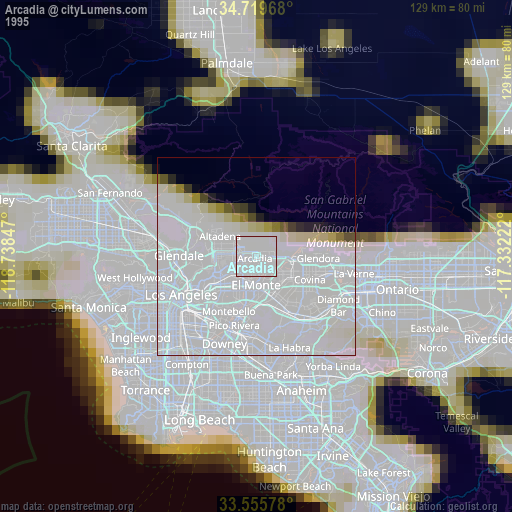
» NASA, Earths city lights 1995
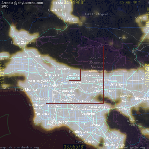
» NASA city lights 2003
» Earth at Night: Flat Maps 2012, 2016