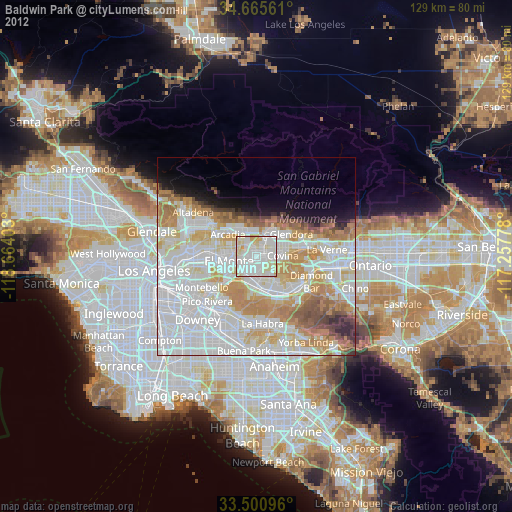
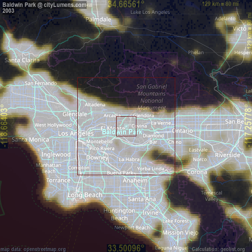
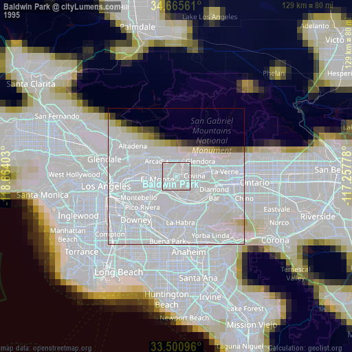
Baldwin Park night lights from space
Night Light of Baldwin Park (California) from space (United States) Src. Average luminocity for 10x10km area is 95.8129% and for 50x50km: 63.0399%.
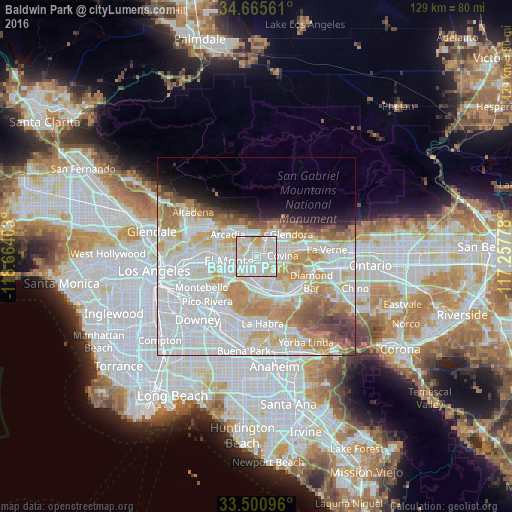
Analysis of Baldwin Park night lights 2016
Square area 10x10 km:
 40.21%
90-99
42.48%80-89
12.24%70-79
4.72%60-69
0.35%50-59
0%40-49
0%30-39
0%20-29
0%10-19
0%0-9
0%Square area 50x50 km:
25.49%90-99
16.88%80-89
6.37%70-79
8.13%60-69
6.73%50-59
3.72%40-49
3.06%30-39
1.94%20-29
1.95%10-19
3.99%0-9
21.75%Clear (daylight) street map image can be seen on geolist.org.
Map coordinates:
34° 39' 56.2" North, 118° 39' 50.5" West
34° 5' 7" North, 117° 57' 39.2" West
33° 30' 3.5" North, 117° 15' 28" West
Some cities around Baldwin Park sort by population:
• El Monte
6.4 km =4 mi,  253°
253°
• West Covina
2.7 km =1.7 mi,  132°
132°
• Valinda
4.7 km =2.9 mi,  160°
160°
• West Puente Valley
3.8 km =2.4 mi,  190°
190°
• Duarte
6.2 km =3.9 mi,  345°
345°
• Vincent
3.7 km =2.3 mi,  66°
66°
• Avocado Heights
6.1 km =3.8 mi,  207°
207°
• Mayflower Village
5.6 km =3.5 mi,  306°
306°
5325866 (p: 77,071)
Sources (retrieved 2019-11-25):
» NASA, Earths city lights 1995
» NASA city lights 2003
» Earth at Night: Flat Maps 2012, 2016