Middle Village night lights from space
Night Light of Middle Village (New York) from space (United States) Src. Average luminocity for 10x10km area is 99.9805% and for 50x50km: 73.8682%.
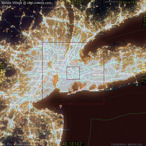
Analysis of Middle Village night lights 2016
Square area 10x10 km:
 98.05%
90-99
1.95%80-89
0%70-79
0%60-69
0%50-59
0%40-49
0%30-39
0%20-29
0%10-19
0%0-9
0%Square area 50x50 km:
43.71%90-99
16.16%80-89
4.13%70-79
4.38%60-69
3.59%50-59
2.48%40-49
2.14%30-39
2.27%20-29
4.56%10-19
6.04%0-9
10.52%Clear (daylight) street map image can be seen on geolist.org.
Map coordinates:
41° 14' 50.2" North, 74° 35' 3.8" West
40° 42' 59.4" North, 73° 52' 52.5" West
40° 10' 53.1" North, 73° 10' 41.3" West
Some cities around Middle Village sort by population:
• Elmhurst
2.2 km =1.4 mi,  7°
7°
• Corona
3.8 km =2.4 mi,  27°
27°
• Ridgewood
2.8 km =1.7 mi,  228°
228°
• Forest Hills
2.6 km =1.6 mi,  90°
90°
• Maspeth
2.7 km =1.7 mi,  285°
285°
• Rego Park
2.7 km =1.7 mi,  65°
65°
• Woodhaven
3.6 km =2.2 mi,  146°
146°
• Glendale
1.7 km =1.1 mi,  195°
195°
5126827 (p: 29,491)
Sources (retrieved 2019-11-25):
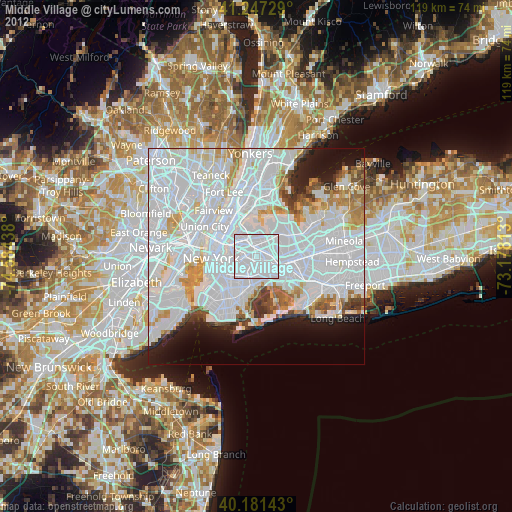
» Earth at Night: Flat Maps 2012, 2016