Ridgewood night lights from space
Night Light of Ridgewood (New York) from space (United States) Src. Average luminocity for 10x10km area is 99.8312% and for 50x50km: 72.6363%.
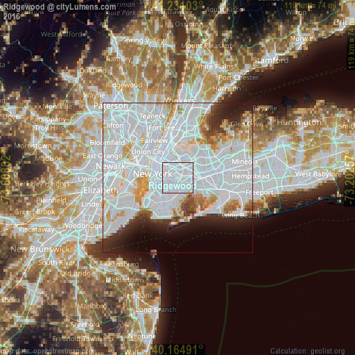
Analysis of Ridgewood night lights 2016
Square area 10x10 km:
 95.78%
90-99
3.57%80-89
0.65%70-79
0%60-69
0%50-59
0%40-49
0%30-39
0%20-29
0%10-19
0%0-9
0%Square area 50x50 km:
43.72%90-99
16.07%80-89
3.94%70-79
3.87%60-69
3.2%50-59
2%40-49
1.97%30-39
2.31%20-29
4.66%10-19
5.61%0-9
12.64%Clear (daylight) street map image can be seen on geolist.org.
Map coordinates:
41° 13' 51.7" North, 74° 36' 31.8" West
40° 42' 0.4" North, 73° 54' 20.5" West
40° 9' 53.7" North, 73° 12' 9.3" West
Some cities around Ridgewood sort by population:
• East New York
4.2 km =2.6 mi,  152°
152°
• Bushwick
1.3 km =0.8 mi,  239°
239°
• Cypress Hills
2.8 km =1.7 mi, 154°
• Maspeth
2.6 km =1.6 mi,  347°
347°
• Woodhaven
4.2 km =2.6 mi,  106°
106°
• Glendale
1.6 km =1 mi,  84°
84°
• Williamsburg
4.3 km =2.7 mi,  291°
291°
• Middle Village
2.8 km =1.7 mi,  48°
48°
5133858 (p: 69,317)
Sources (retrieved 2019-11-25):
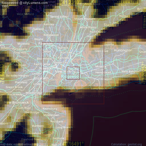
» NASA, Earths city lights 1995
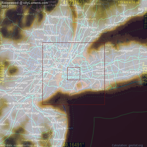
» NASA city lights 2003
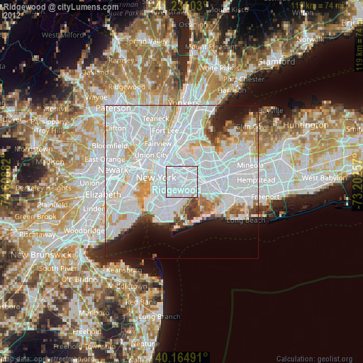
» Earth at Night: Flat Maps 2012, 2016