Woodhaven night lights from space
Night Light of Woodhaven (New York) from space (United States) Src. Average luminocity for 10x10km area is 98.5584% and for 50x50km: 68.955%.
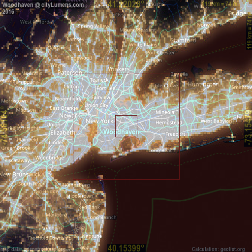
Analysis of Woodhaven night lights 2016
Square area 10x10 km:
 87.82%
90-99
7.63%80-89
1.62%70-79
0.97%60-69
1.3%50-59
0.49%40-49
0.16%30-39
0%20-29
0%10-19
0%0-9
0%Square area 50x50 km:
40.76%90-99
14.46%80-89
3.68%70-79
4.17%60-69
3.63%50-59
2.74%40-49
2.43%30-39
2.36%20-29
4.22%10-19
5.82%0-9
15.74%Clear (daylight) street map image can be seen on geolist.org.
Map coordinates:
41° 13' 13" North, 74° 33' 39.7" West
40° 41' 21.4" North, 73° 51' 28.5" West
40° 9' 14.4" North, 73° 9' 17.2" West
Some cities around Woodhaven sort by population:
• Queens
2 km =1.2 mi,  115°
115°
• East New York
3.2 km =2 mi,  219°
219°
• Richmond Hill
2.5 km =1.6 mi,  62°
62°
• Forest Hills
3.1 km =1.9 mi,  12°
12°
• Cypress Hills
3.1 km =1.9 mi,  244°
244°
• Ozone Park
1.8 km =1.1 mi,  139°
139°
• Glendale
2.8 km =1.7 mi,  299°
299°
• Kew Gardens
3.6 km =2.2 mi,  39°
39°
5144975 (p: 36,555)
Sources (retrieved 2019-11-25):
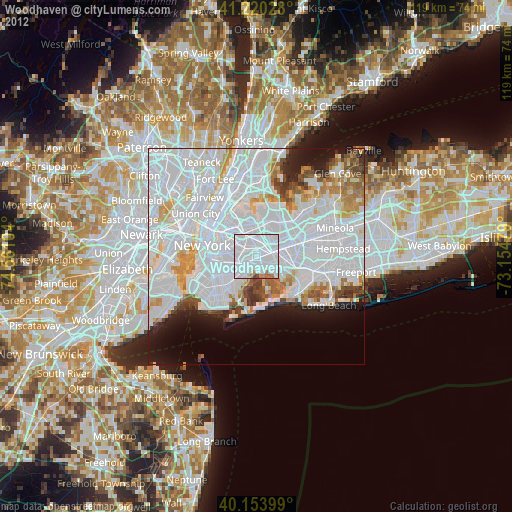
» Earth at Night: Flat Maps 2012, 2016