Rego Park night lights from space
Night Light of Rego Park (New York) from space (United States) Src. Average luminocity for 10x10km area is 99.9123% and for 50x50km: 73.9429%.
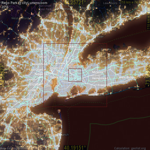
Analysis of Rego Park night lights 2016
Square area 10x10 km:
 94.97%
90-99
5.03%80-89
0%70-79
0%60-69
0%50-59
0%40-49
0%30-39
0%20-29
0%10-19
0%0-9
0%Square area 50x50 km:
42.15%90-99
16.18%80-89
4.6%70-79
4.79%60-69
4.19%50-59
2.95%40-49
2.52%30-39
2.52%20-29
4.46%10-19
6.34%0-9
9.29%Clear (daylight) street map image can be seen on geolist.org.
Map coordinates:
41° 15' 26" North, 74° 33' 20.8" West
40° 43' 35.4" North, 73° 51' 9.5" West
40° 11' 29.4" North, 73° 8' 58.3" West
Some cities around Rego Park sort by population:
• Elmhurst
2.4 km =1.5 mi,  297°
297°
• Corona
2.4 km =1.5 mi,  344°
344°
• Richmond Hill
3.5 km =2.2 mi,  148°
148°
• Forest Hills
1.2 km =0.7 mi,  169°
169°
• Briarwood
3.7 km =2.3 mi,  121°
121°
• Kew Gardens Hills
2.5 km =1.6 mi,  80°
80°
• Middle Village
2.7 km =1.7 mi,  245°
245°
• Kew Gardens
2.3 km =1.4 mi,  126°
126°
5133640 (p: 43,925)
Sources (retrieved 2019-11-25):
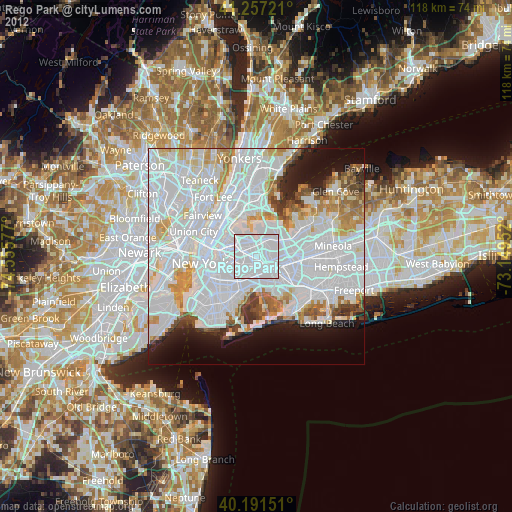
» Earth at Night: Flat Maps 2012, 2016