Glendale night lights from space
Night Light of Glendale (New York) from space (United States) Src. Average luminocity for 10x10km area is 99.9448% and for 50x50km: 72.3777%.
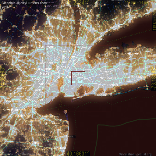
Analysis of Glendale night lights 2016
Square area 10x10 km:
 95.94%
90-99
4.06%80-89
0%70-79
0%60-69
0%50-59
0%40-49
0%30-39
0%20-29
0%10-19
0%0-9
0%Square area 50x50 km:
43.31%90-99
15.75%80-89
3.91%70-79
4.15%60-69
3.36%50-59
2.24%40-49
2.09%30-39
2.27%20-29
4.56%10-19
5.92%0-9
12.44%Clear (daylight) street map image can be seen on geolist.org.
Map coordinates:
41° 13' 56.7" North, 74° 35' 23.7" West
40° 42' 5.4" North, 73° 53' 12.5" West
40° 9' 58.7" North, 73° 11' 1.2" West
Some cities around Glendale sort by population:
• East New York
3.9 km =2.4 mi,  174°
174°
• Bushwick
2.8 km =1.7 mi,  253°
253°
• Ridgewood
1.6 km =1 mi,  264°
264°
• Forest Hills
3.5 km =2.2 mi,  62°
62°
• Cypress Hills
2.7 km =1.7 mi,  187°
187°
• Maspeth
3.2 km =2 mi,  317°
317°
• Woodhaven
2.8 km =1.7 mi,  119°
119°
• Middle Village
1.7 km =1.1 mi,  15°
15°
5118670 (p: 34,389)
Sources (retrieved 2019-11-25):
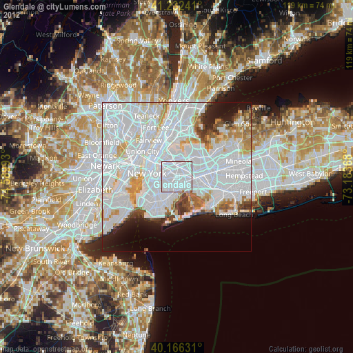
» Earth at Night: Flat Maps 2012, 2016