Forest Hills night lights from space
Night Light of Forest Hills (New York) from space (United States) Src. Average luminocity for 10x10km area is 99.9805% and for 50x50km: 72.0996%.
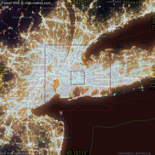
Analysis of Forest Hills night lights 2016
Square area 10x10 km:
 98.05%
90-99
1.95%80-89
0%70-79
0%60-69
0%50-59
0%40-49
0%30-39
0%20-29
0%10-19
0%0-9
0%Square area 50x50 km:
41.69%90-99
15.56%80-89
4.18%70-79
4.52%60-69
3.99%50-59
2.89%40-49
2.48%30-39
2.44%20-29
4.4%10-19
6.32%0-9
11.53%Clear (daylight) street map image can be seen on geolist.org.
Map coordinates:
41° 14' 49.2" North, 74° 33' 11.8" West
40° 42' 58.4" North, 73° 51' 0.5" West
40° 10' 52.1" North, 73° 8' 49.3" West
Some cities around Forest Hills sort by population:
• Elmhurst
3.2 km =2 mi,  313°
313°
• Richmond Hill
2.4 km =1.5 mi,  138°
138°
• Briarwood
3 km =1.9 mi,  104°
104°
• Rego Park
1.2 km =0.7 mi,  349°
349°
• Kew Gardens Hills
2.7 km =1.7 mi,  55°
55°
• Woodhaven
3.1 km =1.9 mi,  192°
192°
• Middle Village
2.6 km =1.6 mi,  270°
270°
• Kew Gardens
1.6 km =1 mi, 97°
5117575 (p: 67,714)
Sources (retrieved 2019-11-25):
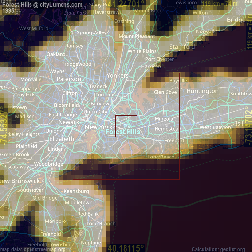
» NASA, Earths city lights 1995
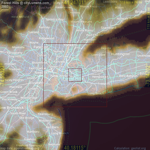
» NASA city lights 2003
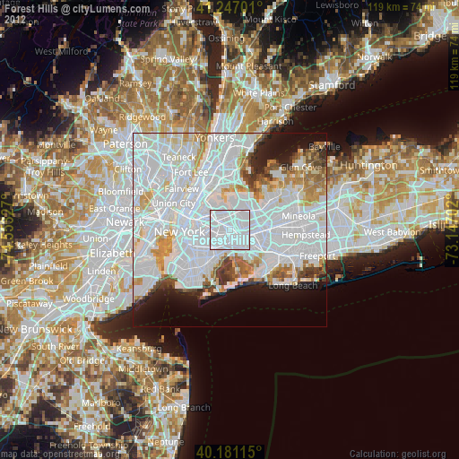
» Earth at Night: Flat Maps 2012, 2016