McCook night lights from space
Night Light of McCook (Nebraska) from space (United States) Src. Average luminocity for 10x10km area is 17.7614% and for 50x50km: 0.862%.
Analysis of McCook night lights 2016
Square area 10x10 km:
 2.44%
2.44%90-99
2.92%80-89
2.92%70-79
3.25%60-69
1.95%50-59
0.81%40-49
1.79%30-39
1.95%20-29
0.16%10-19
10.23%0-9
71.59%Square area 50x50 km:
0.1%90-99
0.13%80-89
0.13%70-79
0.14%60-69
0.11%50-59
0.07%40-49
0.07%30-39
0.13%20-29
0.04%10-19
0.43%0-9
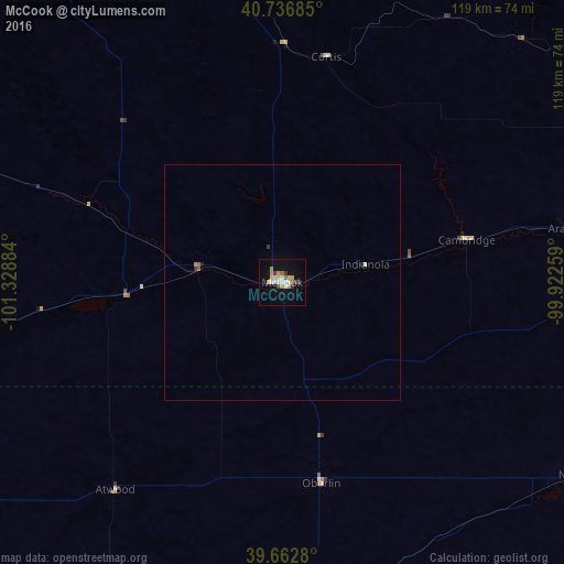
98.65%Clear (daylight) street map image can be seen on geolist.org.
Map coordinates:
40° 44' 12.7" North, 101° 19' 43.8" West
40° 12' 7" North, 100° 37' 32.6" West
39° 39' 46.1" North, 99° 55' 21.3" West
Some cities around McCook sort by population:
• Grand Island
209 km =129.9 mi,  67°
67°
• Kearney
141.9 km =88.2 mi, 67°
• Hastings
194.2 km =120.7 mi,  77°
77°
• North Platte
103.2 km =64.1 mi,  353°
353°
• Hays
184.5 km =114.6 mi,  142°
142°
• Lexington
98.7 km =61.3 mi,  49°
49°
• Holdrege
109.7 km =68.2 mi, 76°
• Colby
96.8 km =60.1 mi,  202°
202°
5697383 (p: 7,580)
Sources (retrieved 2019-11-25):
» Earth at Night: Flat Maps 2012, 2016