Holdrege night lights from space
Night Light of Holdrege (Nebraska) from space (United States) Src. Average luminocity for 10x10km area is 15.2245% and for 50x50km: 1.0709%.
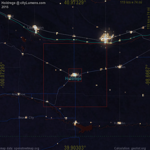
Analysis of Holdrege night lights 2016
Square area 10x10 km:
 2.21%
2.21%90-99
1.87%80-89
3.74%70-79
1.02%60-69
0.68%50-59
2.38%40-49
2.89%30-39
1.02%20-29
0.51%10-19
2.89%0-9
80.78%Square area 50x50 km:
0.09%90-99
0.09%80-89
0.21%70-79
0.08%60-69
0.11%50-59
0.14%40-49
0.23%30-39
0.24%20-29
0.14%10-19
0.49%0-9
98.18%Clear (daylight) street map image can be seen on geolist.org.
Map coordinates:
40° 58' 23.8" North, 100° 4' 22.6" West
40° 26' 25" North, 99° 22' 11.4" West
39° 54' 10.9" North, 98° 40' 0.1" West
Some cities around Holdrege sort by population:
• Grand Island
102.1 km =63.4 mi,  58°
58°
• Kearney
37.7 km =23.4 mi,  40°
40°
• Hastings
84.5 km =52.5 mi,  78°
78°
• North Platte
139.9 km =86.9 mi,  302°
302°
• Hays
173.6 km =107.9 mi,  178°
178°
• Lexington
49.2 km =30.6 mi,  320°
320°
• York
157.3 km =97.7 mi,  72°
72°
• McCook
109.7 km =68.2 mi,  256°
256°
5070216 (p: 5,561)
Sources (retrieved 2019-11-25):
» Earth at Night: Flat Maps 2012, 2016