Lexington night lights from space
Night Light of Lexington (Nebraska) from space (United States) Src. Average luminocity for 10x10km area is 20.7873% and for 50x50km: 1.4563%.
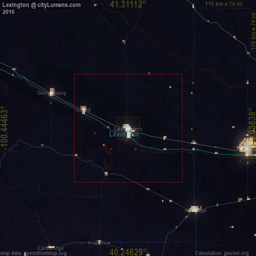
Analysis of Lexington night lights 2016
Square area 10x10 km:
 3.9%
3.9%90-99
6.33%80-89
1.46%70-79
1.3%60-69
1.95%50-59
1.3%40-49
0.65%30-39
0.32%20-29
4.55%10-19
16.88%0-9
61.36%Square area 50x50 km:
0.18%90-99
0.35%80-89
0.18%70-79
0.05%60-69
0.25%50-59
0.16%40-49
0.13%30-39
0.06%20-29
0.31%10-19
0.71%0-9
97.62%Clear (daylight) street map image can be seen on geolist.org.
Map coordinates:
41° 18' 40" North, 100° 26' 40.7" West
40° 46' 51" North, 99° 44' 29.4" West
40° 14' 46.6" North, 99° 2' 18.2" West
Some cities around Lexington sort by population:
• Grand Island
118.8 km =73.8 mi,  82°
82°
• Kearney
56.3 km =35 mi,  99°
99°
• Hastings
116.1 km =72.1 mi, 100°
• North Platte
94.1 km =58.5 mi,  293°
293°
• York
181.1 km =112.5 mi,  86°
86°
• McCook
98.7 km =61.3 mi,  229°
229°
• Holdrege
49.2 km =30.6 mi,  140°
140°
• Colby
190.1 km =118.1 mi,  215°
215°
5071934 (p: 10,075)
Sources (retrieved 2019-11-25):
» Earth at Night: Flat Maps 2012, 2016