Hays night lights from space
Night Light of Hays (Kansas) from space (United States) Src. Average luminocity for 10x10km area is 34.8163% and for 50x50km: 1.9047%.
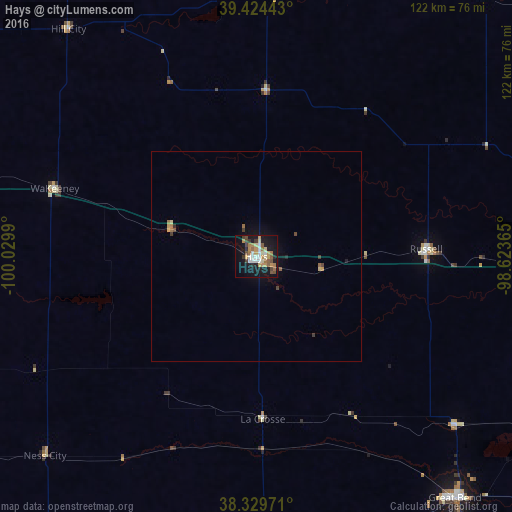
Analysis of Hays night lights 2016
Square area 10x10 km:
 4.59%
4.59%90-99
4.93%80-89
3.57%70-79
6.8%60-69
7.14%50-59
4.93%40-49
3.91%30-39
3.57%20-29
3.23%10-19
36.39%0-9
20.92%Square area 50x50 km:
0.18%90-99
0.19%80-89
0.19%70-79
0.35%60-69
0.37%50-59
0.26%40-49
0.27%30-39
0.23%20-29
0.19%10-19
1.78%0-9
95.98%Clear (daylight) street map image can be seen on geolist.org.
Map coordinates:
39° 25' 27.9" North, 100° 1' 47.6" West
38° 52' 45" North, 99° 19' 36.4" West
38° 19' 47" North, 98° 37' 25.1" West
Some cities around Hays sort by population:
• Salina
148.6 km =92.3 mi,  91°
91°
• Hutchinson
151.9 km =94.4 mi,  126°
126°
• Dodge City
139 km =86.4 mi,  205°
205°
• Great Bend
75.2 km =46.7 mi,  139°
139°
• McPherson
155.1 km =96.4 mi,  111°
111°
• Pratt
146.7 km =91.2 mi,  159°
159°
• Colby
159.5 km =99.1 mi,  291°
291°
• Concordia
162.7 km =101.1 mi,  61°
61°
4272782 (p: 21,092)
Sources (retrieved 2019-11-25):
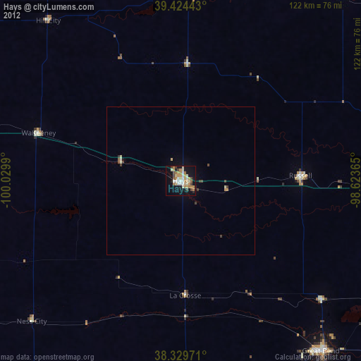
» Earth at Night: Flat Maps 2012, 2016