Colby night lights from space
Night Light of Colby (Kansas) from space (United States) Src. Average luminocity for 10x10km area is 18.0714% and for 50x50km: 0.8237%.
Analysis of Colby night lights 2016
Square area 10x10 km:
 0.85%
0.85%90-99
1.87%80-89
6.12%70-79
2.89%60-69
3.4%50-59
1.19%40-49
0.68%30-39
2.04%20-29
0.68%10-19
7.99%0-9
72.28%Square area 50x50 km:
0.03%90-99
0.07%80-89
0.24%70-79
0.11%60-69
0.13%50-59
0.07%40-49
0.06%30-39
0.13%20-29
0.1%10-19
0.31%0-9
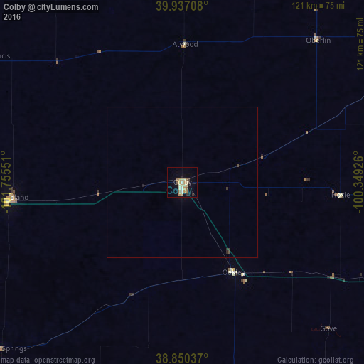
98.74%Clear (daylight) street map image can be seen on geolist.org.
Map coordinates:
39° 56' 13.5" North, 101° 45' 19.8" West
39° 23' 45" North, 101° 3' 8.6" West
38° 51' 1.3" North, 100° 20' 57.3" West
Some cities around Colby sort by population:
• Garden City
159.1 km =98.9 mi,  174°
174°
• North Platte
193.7 km =120.4 mi,  7°
7°
• Hays
159.5 km =99.1 mi,  111°
111°
• Lexington
190.1 km =118.1 mi,  35°
35°
• McCook
96.8 km =60.1 mi,  22°
22°
• Lamar
199.2 km =123.8 mi,  223°
223°
• Ulysses
203.5 km =126.4 mi,  187°
187°
• Holdrege
184.6 km =114.7 mi,  51°
51°
5445194 (p: 5,417)
Sources (retrieved 2019-11-25):
» Earth at Night: Flat Maps 2012, 2016