Kearney night lights from space
Night Light of Kearney (Nebraska) from space (United States) Src. Average luminocity for 10x10km area is 51.1282% and for 50x50km: 3.3371%.
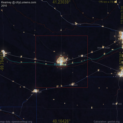
Analysis of Kearney night lights 2016
Square area 10x10 km:
 8.44%
8.44%90-99
9.09%80-89
10.88%70-79
9.25%60-69
5.19%50-59
6.01%40-49
4.55%30-39
6.33%20-29
14.61%10-19
24.19%0-9
1.46%Square area 50x50 km:
0.37%90-99
0.46%80-89
0.56%70-79
0.44%60-69
0.38%50-59
0.38%40-49
0.43%30-39
0.55%20-29
0.89%10-19
2.6%0-9
92.94%Clear (daylight) street map image can be seen on geolist.org.
Map coordinates:
41° 13' 49.4" North, 99° 47' 4.6" West
40° 41' 58.1" North, 99° 4' 53.3" West
40° 9' 51.3" North, 98° 22' 42.1" West
Some cities around Kearney sort by population:
• Grand Island
67.1 km =41.7 mi,  68°
68°
• Hastings
59.8 km =37.2 mi,  102°
102°
• North Platte
149.2 km =92.7 mi,  288°
288°
• Columbus
165 km =102.5 mi,  60°
60°
• Lexington
56.3 km =35 mi,  279°
279°
• York
126.8 km =78.8 mi,  81°
81°
• McCook
141.9 km =88.2 mi,  247°
247°
• Holdrege
37.7 km =23.4 mi,  220°
220°
5071348 (p: 33,021)
Sources (retrieved 2019-11-25):
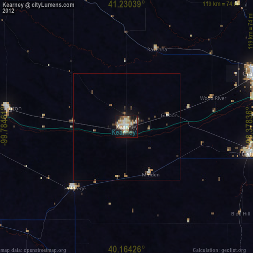
» Earth at Night: Flat Maps 2012, 2016