Massapequa night lights from space
Night Light of Massapequa (New York) from space (United States) Src. Average luminocity for 10x10km area is 86.8279% and for 50x50km: 50.3685%.

Analysis of Massapequa night lights 2016
Square area 10x10 km:
 41.4%
41.4%90-99
33.6%80-89
4.87%70-79
0.97%60-69
3.08%50-59
2.6%40-49
2.27%30-39
7.14%20-29
4.06%10-19
0%0-9
0%Square area 50x50 km:
18.45%90-99
12.11%80-89
5.74%70-79
6.59%60-69
5.68%50-59
4.5%40-49
2.65%30-39
2.74%20-29
4.92%10-19
4.83%0-9
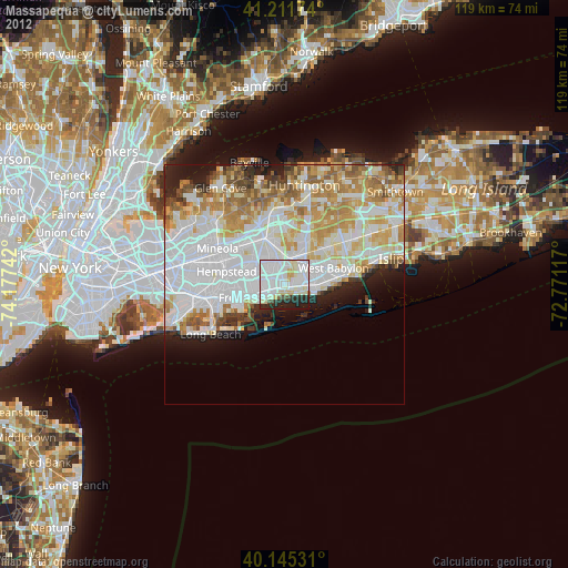
31.79%Clear (daylight) street map image can be seen on geolist.org.
Map coordinates:
41° 12' 42.3" North, 74° 10' 38.7" West
40° 40' 50.4" North, 73° 28' 27.4" West
40° 8' 43.1" North, 72° 46' 16.2" West
Some cities around Massapequa sort by population:
• East Massapequa
3.3 km =2.1 mi,  104°
104°
• Wantagh
3 km =1.9 mi,  276°
276°
• North Massapequa
2.5 km =1.6 mi,  24°
24°
• North Amityville
4.6 km =2.9 mi,  65°
65°
• Bellmore
4.6 km =2.9 mi,  253°
253°
• Seaford
2 km =1.2 mi,  215°
215°
• North Wantagh
3.1 km =1.9 mi,  296°
296°
• Plainedge
4.2 km =2.6 mi,  348°
348°
5126183 (p: 21,685)
Sources (retrieved 2019-11-25):
» Earth at Night: Flat Maps 2012, 2016