East Massapequa night lights from space
Night Light of East Massapequa (New York) from space (United States) Src. Average luminocity for 10x10km area is 75.1932% and for 50x50km: 48.0315%.
Analysis of East Massapequa night lights 2016
Square area 10x10 km:
 30.68%
90-99
29.22%80-89
4.38%70-79
1.79%60-69
2.92%50-59
3.08%40-49
1.3%30-39
8.77%20-29
13.96%10-19
3.9%0-9
0%Square area 50x50 km:
16.84%90-99
11.72%80-89
5.76%70-79
6.71%60-69
5.74%50-59
4.52%40-49
2.57%30-39
2.11%20-29
4.15%10-19
4.34%0-9
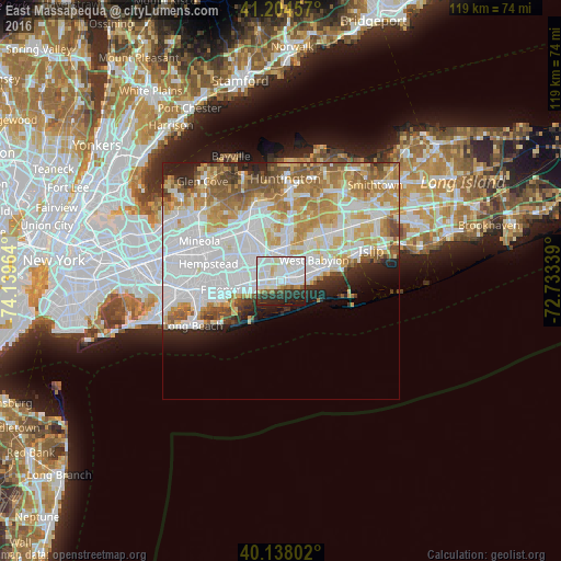
35.53%Clear (daylight) street map image can be seen on geolist.org.
Map coordinates:
41° 12' 16.5" North, 74° 8' 22.7" West
40° 40' 24.3" North, 73° 26' 11.4" West
40° 8' 16.9" North, 72° 44' 0.2" West
Some cities around East Massapequa sort by population:
• Copiague
3.2 km =2 mi,  73°
73°
• Massapequa
3.3 km =2.1 mi,  284°
284°
• North Massapequa
3.7 km =2.3 mi,  324°
324°
• North Amityville
2.9 km =1.8 mi,  19°
19°
• Massapequa Park
1.7 km =1.1 mi,  296°
296°
• Seaford
4.4 km =2.7 mi,  259°
259°
• South Farmingdale
5.3 km =3.3 mi,  356°
356°
• Amityville
1.8 km =1.1 mi, 69°
5115962 (p: 19,069)
Sources (retrieved 2019-11-25):
» Earth at Night: Flat Maps 2012, 2016