North Massapequa night lights from space
Night Light of North Massapequa (New York) from space (United States) Src. Average luminocity for 10x10km area is 96.5179% and for 50x50km: 51.0282%.
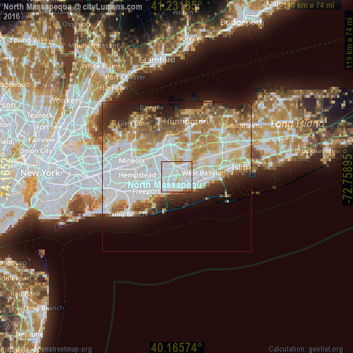
Analysis of North Massapequa night lights 2016
Square area 10x10 km:
 47.24%
90-99
42.53%80-89
5.03%70-79
3.25%60-69
1.14%50-59
0.81%40-49
0%30-39
0%20-29
0%10-19
0%0-9
0%Square area 50x50 km:
18.02%90-99
12.09%80-89
5.88%70-79
6.69%60-69
5.88%50-59
4.75%40-49
2.85%30-39
2.79%20-29
5.95%10-19
6.91%0-9
28.2%Clear (daylight) street map image can be seen on geolist.org.
Map coordinates:
41° 13' 54.7" North, 74° 9' 54.7" West
40° 42' 3.3" North, 73° 27' 43.5" West
40° 9' 56.7" North, 72° 45' 32.2" West
Some cities around North Massapequa sort by population:
• Massapequa
2.5 km =1.6 mi,  204°
204°
• East Massapequa
3.7 km =2.3 mi,  144°
144°
• Massapequa Park
2.4 km =1.5 mi,  165°
165°
• Seaford
4.5 km =2.8 mi,  209°
209°
• South Farmingdale
2.9 km =1.8 mi,  40°
40°
• Amityville
4.5 km =2.8 mi,  122°
122°
• Plainedge
2.6 km =1.6 mi,  314°
314°
• Farmingdale
3.8 km =2.4 mi,  21°
21°
5129134 (p: 17,886)
Sources (retrieved 2019-11-25):
» Earth at Night: Flat Maps 2012, 2016