Wantagh night lights from space
Night Light of Wantagh (New York) from space (United States) Src. Average luminocity for 10x10km area is 93.6347% and for 50x50km: 52.1744%.
Analysis of Wantagh night lights 2016
Square area 10x10 km:
 53.9%
53.9%90-99
31.82%80-89
4.38%70-79
0.81%60-69
2.92%50-59
1.79%40-49
0.81%30-39
3.41%20-29
0.16%10-19
0%0-9
0%Square area 50x50 km:
19.95%90-99
12.17%80-89
5.55%70-79
6.57%60-69
5.89%50-59
4.64%40-49
2.89%30-39
2.76%20-29
5.2%10-19
5.13%0-9
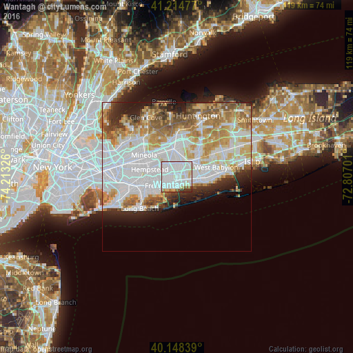
29.24%Clear (daylight) street map image can be seen on geolist.org.
Map coordinates:
41° 12' 53.2" North, 74° 12' 47.7" West
40° 41' 1.4" North, 73° 30' 36.5" West
40° 8' 54.2" North, 72° 48' 25.2" West
Some cities around Wantagh sort by population:
• Merrick
4.2 km =2.6 mi,  236°
236°
• Massapequa
3 km =1.9 mi,  96°
96°
• North Bellmore
2.1 km =1.3 mi,  293°
293°
• North Massapequa
4.5 km =2.8 mi,  64°
64°
• Bellmore
2.2 km =1.4 mi,  220°
220°
• Seaford
2.7 km =1.7 mi,  136°
136°
• North Wantagh
1.1 km =0.7 mi,  11°
11°
• Plainedge
4.3 km =2.7 mi,  30°
30°
5143198 (p: 18,871)
Sources (retrieved 2019-11-25):
» Earth at Night: Flat Maps 2012, 2016