North Amityville night lights from space
Night Light of North Amityville (New York) from space (United States) Src. Average luminocity for 10x10km area is 92.263% and for 50x50km: 49.2047%.
Analysis of North Amityville night lights 2016
Square area 10x10 km:
 38.96%
90-99
41.4%80-89
6.66%70-79
4.71%60-69
1.79%50-59
2.44%40-49
1.3%30-39
2.44%20-29
0.32%10-19
0%0-9
0%Square area 50x50 km:
16.27%90-99
11.54%80-89
5.97%70-79
7.17%60-69
6.06%50-59
5.07%40-49
3.08%30-39
2.57%20-29
5.09%10-19
6.34%0-9
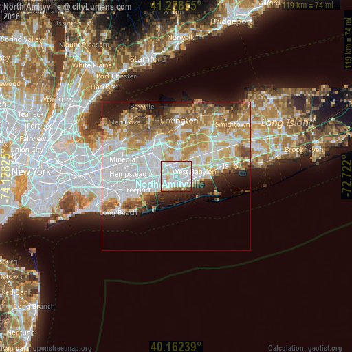
30.85%Clear (daylight) street map image can be seen on geolist.org.
Map coordinates:
41° 13' 42.8" North, 74° 7' 41.7" West
40° 41' 51.4" North, 73° 25' 30.4" West
40° 9' 44.6" North, 72° 43' 19.2" West
Some cities around North Amityville sort by population:
• Lindenhurst
4.5 km =2.8 mi,  105°
105°
• Copiague
2.8 km =1.7 mi,  130°
130°
• East Massapequa
2.9 km =1.8 mi,  199°
199°
• Massapequa Park
3.2 km =2 mi,  232°
232°
• South Farmingdale
2.9 km =1.8 mi,  333°
333°
• Amityville
2.2 km =1.4 mi,  161°
161°
• Farmingdale
4.3 km =2.7 mi,  336°
336°
• East Farmingdale
3.6 km =2.2 mi,  11°
11°
5128884 (p: 17,862)
Sources (retrieved 2019-11-25):
» Earth at Night: Flat Maps 2012, 2016