North Wantagh night lights from space
Night Light of North Wantagh (New York) from space (United States) Src. Average luminocity for 10x10km area is 97.4318% and for 50x50km: 52.7299%.
Analysis of North Wantagh night lights 2016
Square area 10x10 km:
 58.93%
90-99
35.23%80-89
2.92%70-79
0%60-69
1.62%50-59
0.97%40-49
0.32%30-39
0%20-29
0%10-19
0%0-9
0%Square area 50x50 km:
19.99%90-99
12.24%80-89
5.56%70-79
6.61%60-69
5.96%50-59
4.74%40-49
3.01%30-39
2.86%20-29
5.67%10-19
5.86%0-9
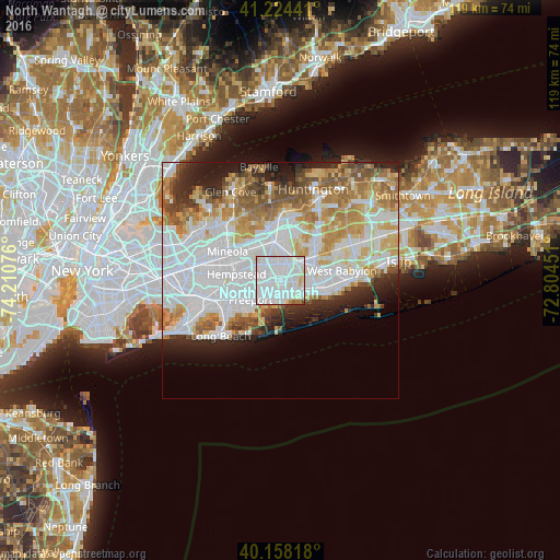
27.5%Clear (daylight) street map image can be seen on geolist.org.
Map coordinates:
41° 13' 27.9" North, 74° 12' 38.7" West
40° 41' 36.3" North, 73° 30' 27.5" West
40° 9' 29.4" North, 72° 48' 16.2" West
Some cities around North Wantagh sort by population:
• Levittown
3.7 km =2.3 mi,  351°
351°
• East Meadow
4.9 km =3 mi,  297°
297°
• Massapequa
3.1 km =1.9 mi,  116°
116°
• Wantagh
1.1 km =0.7 mi,  191°
191°
• Massapequa Park
4.7 km =2.9 mi,  108°
108°
• Bellmore
3.2 km =2 mi,  210°
210°
• Seaford
3.5 km =2.2 mi,  151°
151°
• Plainedge
3.3 km =2.1 mi,  37°
37°
5129254 (p: 11,960)
Sources (retrieved 2019-11-25):
» Earth at Night: Flat Maps 2012, 2016