Lino Lakes night lights from space
Night Light of Lino Lakes (Minnesota) from space (United States) Src. Average luminocity for 10x10km area is 26.4197% and for 50x50km: 38.6668%.
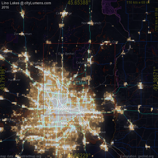
Analysis of Lino Lakes night lights 2016
Square area 10x10 km:
 0.91%
0.91%90-99
1.52%80-89
1.21%70-79
1.67%60-69
3.03%50-59
3.64%40-49
13.94%30-39
8.18%20-29
9.24%10-19
38.94%0-9
17.73%Square area 50x50 km:
12.01%90-99
8.97%80-89
4.61%70-79
4.94%60-69
4.45%50-59
3.45%40-49
3.9%30-39
2.45%20-29
4.34%10-19
8.78%0-9
42.12%Clear (daylight) street map image can be seen on geolist.org.
Map coordinates:
45° 39' 14" North, 93° 47' 31.1" West
45° 9' 36.9" North, 93° 5' 19.8" West
44° 39' 44.2" North, 92° 23' 8.6" West
Some cities around Lino Lakes sort by population:
• Blaine
11.5 km =7.1 mi,  270°
270°
• Shoreview
10.1 km =6.3 mi,  206°
206°
• White Bear Lake
10.4 km =6.5 mi,  143°
143°
• Hugo
7.5 km =4.7 mi,  90°
90°
• Vadnais Heights
11.5 km =7.1 mi,  174°
174°
• Mounds View
11.2 km =7 mi,  236°
236°
• Arden Hills
13.3 km =8.3 mi,  203°
203°
• Spring Lake Park
13.1 km =8.1 mi, 243°
5034767 (p: 21,050)
Sources (retrieved 2019-11-25):
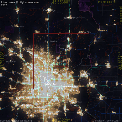
» Earth at Night: Flat Maps 2012, 2016