Laramie night lights from space
Night Light of Laramie (Wyoming) from space (United States) Src. Average luminocity for 10x10km area is 32.2987% and for 50x50km: 1.5644%.
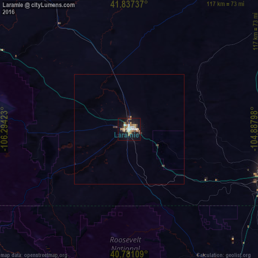
Analysis of Laramie night lights 2016
Square area 10x10 km:
 4.22%
4.22%90-99
5.52%80-89
3.9%70-79
4.71%60-69
6.17%50-59
4.71%40-49
1.46%30-39
3.25%20-29
4.55%10-19
36.04%0-9
25.49%Square area 50x50 km:
0.17%90-99
0.22%80-89
0.15%70-79
0.21%60-69
0.26%50-59
0.19%40-49
0.12%30-39
0.26%20-29
0.23%10-19
1.61%0-9
96.58%Clear (daylight) street map image can be seen on geolist.org.
Map coordinates:
41° 50' 14.5" North, 106° 17' 39.2" West
41° 18' 40.9" North, 105° 35' 28" West
40° 46' 51.9" North, 104° 53' 16.7" West
Some cities around Laramie sort by population:
• Fort Collins
91.3 km =56.7 mi,  152°
152°
• Loveland
110.5 km =68.7 mi,  156°
156°
• Cheyenne
67.2 km =41.8 mi,  106°
106°
• Windsor
109.4 km =68 mi, 147°
• Wellington
83.4 km =51.8 mi,  144°
144°
• Estes Park
104 km =64.6 mi,  176°
176°
• Berthoud
119.5 km =74.3 mi, 158°
• Ranchettes
67.7 km =42.1 mi,  98°
98°
5830062 (p: 32,158)
Sources (retrieved 2019-11-25):
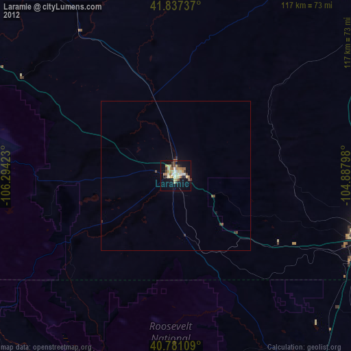
» Earth at Night: Flat Maps 2012, 2016