Fort Collins night lights from space
Night Light of Fort Collins (Colorado) from space (United States) Src. Average luminocity for 10x10km area is 64.5211% and for 50x50km: 14.0783%.
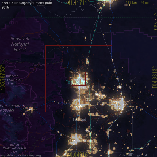

Analysis of Fort Collins night lights 2016
Square area 10x10 km:
 14.29%
90-99
12.66%80-89
7.47%70-79
10.23%60-69
14.29%50-59
8.28%40-49
10.71%30-39
6.66%20-29
10.06%10-19
5.36%0-9
0%Square area 50x50 km:
1.43%90-99
1.83%80-89
1.78%70-79
2.01%60-69
2.51%50-59
2.56%40-49
2.38%30-39
3.16%20-29
4.1%10-19
8.61%0-9
69.63%Clear (daylight) street map image can be seen on geolist.org.
Map coordinates:
41° 7' 1.6" North, 105° 47' 15.2" West
40° 35' 6.9" North, 105° 5' 3.9" West
40° 2' 56.9" North, 104° 22' 52.7" West
Some cities around Fort Collins sort by population:
• Greeley
36.5 km =22.7 mi,  119°
119°
• Loveland
20.9 km =13 mi,  177°
177°
• Windsor
19.6 km =12.2 mi,  127°
127°
• Evans
40.5 km =25.2 mi, 124°
• Johnstown
31.2 km =19.4 mi,  152°
152°
• Wellington
14.7 km =9.1 mi,  25°
25°
• Milliken
34.4 km =21.4 mi, 145°
• Berthoud
30.8 km =19.1 mi, 179°
5577147 (p: 161,175)
Sources (retrieved 2019-11-25):
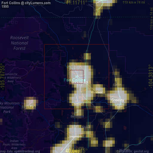
» NASA, Earths city lights 1995
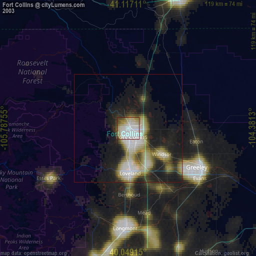
» NASA city lights 2003
» Earth at Night: Flat Maps 2012, 2016