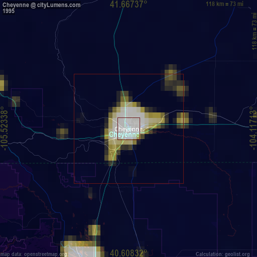
Cheyenne night lights from space
Night Light of Cheyenne (Wyoming) from space (United States) Src. Average luminocity for 10x10km area is 74.6234% and for 50x50km: 5.5913%.
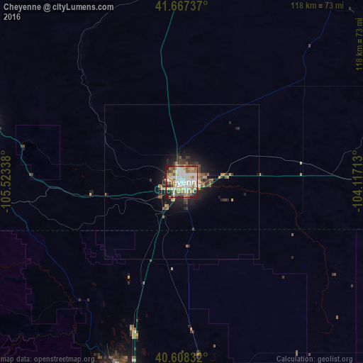
Analysis of Cheyenne night lights 2016
Square area 10x10 km:
 18.99%
90-99
20.78%80-89
13.64%70-79
7.79%60-69
9.74%50-59
11.36%40-49
4.38%30-39
5.36%20-29
6.98%10-19
0.97%0-9
0%Square area 50x50 km:
0.77%90-99
0.91%80-89
0.7%70-79
0.69%60-69
0.86%50-59
0.86%40-49
0.57%30-39
1.03%20-29
1.55%10-19
3.43%0-9
88.64%Clear (daylight) street map image can be seen on geolist.org.
Map coordinates:
41° 40' 2.5" North, 105° 31' 24.2" West
41° 8' 23.9" North, 104° 49' 12.9" West
40° 36' 30" North, 104° 7' 1.7" West
Some cities around Cheyenne sort by population:
• Fort Collins
65.6 km =40.8 mi,  199°
199°
• Greeley
80.2 km =49.8 mi,  173°
173°
• Loveland
85.3 km =53 mi,  194°
194°
• Laramie
67.2 km =41.8 mi,  286°
286°
• Windsor
74 km =46 mi, 185°
• Evans
85.6 km =53.2 mi, 172°
• Wellington
51 km =31.7 mi, 198°
• Ranchettes
9.1 km =5.7 mi,  16°
16°
5821086 (p: 63,335)
Sources (retrieved 2019-11-25):
» NASA, Earths city lights 1995
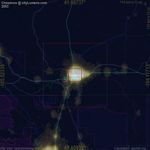
» NASA city lights 2003
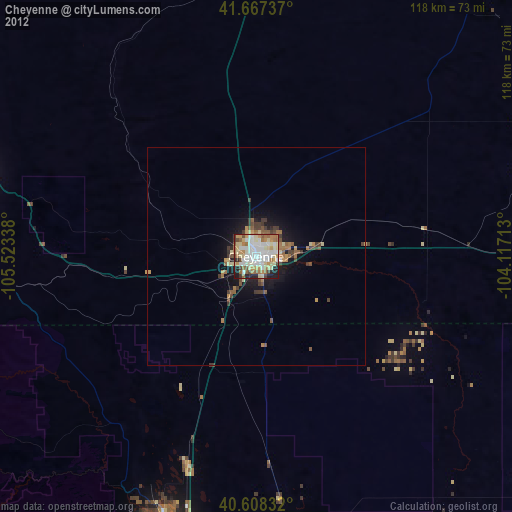
» Earth at Night: Flat Maps 2012, 2016