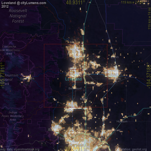
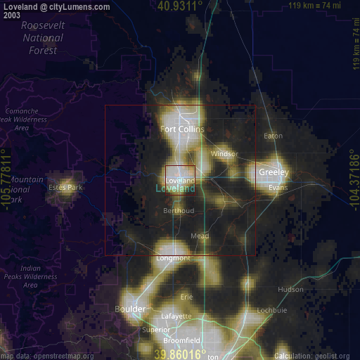
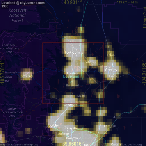
Loveland night lights from space
Night Light of Loveland (Colorado) from space (United States) Src. Average luminocity for 10x10km area is 63.7483% and for 50x50km: 18.1595%.

Analysis of Loveland night lights 2016
Square area 10x10 km:
 10.2%
10.2%90-99
15.82%80-89
10.54%70-79
11.05%60-69
10.03%50-59
8.16%40-49
8.16%30-39
6.97%20-29
13.95%10-19
5.1%0-9
0%Square area 50x50 km:
1.69%90-99
2.11%80-89
2.43%70-79
2.67%60-69
3.37%50-59
2.98%40-49
2.72%30-39
3.84%20-29
5.36%10-19
12.32%0-9
60.5%Clear (daylight) street map image can be seen on geolist.org.
Map coordinates:
40° 55' 52" North, 105° 46' 41.2" West
40° 23' 51.9" North, 105° 4' 29.9" West
39° 51' 36.6" North, 104° 22' 18.7" West
Some cities around Loveland sort by population:
• Fort Collins
20.9 km =13 mi,  357°
357°
• Greeley
31.1 km =19.3 mi,  84°
84°
• Longmont
25.7 km =16 mi,  185°
185°
• Windsor
17.2 km =10.7 mi,  58°
58°
• Evans
32.5 km =20.2 mi,  94°
94°
• Johnstown
15.4 km =9.6 mi,  116°
116°
• Milliken
20.1 km =12.5 mi,  112°
112°
• Berthoud
10 km =6.2 mi,  182°
182°
5579368 (p: 75,182)
Sources (retrieved 2019-11-25):
» NASA, Earths city lights 1995
» NASA city lights 2003
» Earth at Night: Flat Maps 2012, 2016