Lamar night lights from space
Night Light of Lamar (Colorado) from space (United States) Src. Average luminocity for 10x10km area is 16.8019% and for 50x50km: 0.8441%.
Analysis of Lamar night lights 2016
Square area 10x10 km:
 0.81%
0.81%90-99
1.79%80-89
5.84%70-79
1.95%60-69
0.97%50-59
3.41%40-49
0.81%30-39
3.25%20-29
0%10-19
6.01%0-9
75.16%Square area 50x50 km:
0.03%90-99
0.07%80-89
0.27%70-79
0.08%60-69
0.04%50-59
0.17%40-49
0.09%30-39
0.21%20-29
0.03%10-19
0.25%0-9
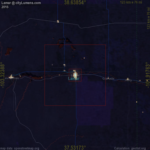
98.76%Clear (daylight) street map image can be seen on geolist.org.
Map coordinates:
38° 38' 18.7" North, 103° 19' 26" West
38° 5' 14" North, 102° 37' 14.7" West
37° 31' 54.2" North, 101° 55' 3.5" West
Some cities around Lamar sort by population:
• Pueblo
174.8 km =108.6 mi,  276°
276°
• Pueblo West
185.9 km =115.5 mi, 279°
• Fountain
193 km =119.9 mi,  290°
290°
• Garden City
153.6 km =95.4 mi,  94°
94°
• Liberal
189.5 km =117.7 mi,  127°
127°
• Guymon
185.8 km =115.5 mi,  147°
147°
• La Junta
81.6 km =50.7 mi,  261°
261°
• Ulysses
124.6 km =77.4 mi,  116°
116°
5427957 (p: 7,555)
Sources (retrieved 2019-11-25):
» Earth at Night: Flat Maps 2012, 2016