Guymon night lights from space
Night Light of Guymon (Oklahoma) from space (United States) Src. Average luminocity for 10x10km area is 23.2271% and for 50x50km: 1.3431%.
Analysis of Guymon night lights 2016
Square area 10x10 km:
 4.03%
4.03%90-99
2.75%80-89
3.66%70-79
1.28%60-69
6.59%50-59
1.47%40-49
2.38%30-39
3.3%20-29
0.73%10-19
17.4%0-9
56.41%Square area 50x50 km:
0.18%90-99
0.13%80-89
0.25%70-79
0.12%60-69
0.31%50-59
0.05%40-49
0.15%30-39
0.23%20-29
0.12%10-19
0.81%0-9
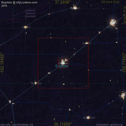
97.64%Clear (daylight) street map image can be seen on geolist.org.
Map coordinates:
37° 14' 40.6" North, 102° 11' 4.8" West
36° 40' 58.1" North, 101° 28' 53.6" West
36° 7' 0.7" North, 100° 46' 42.3" West
Some cities around Guymon sort by population:
• Garden City
153.1 km =95.1 mi,  20°
20°
• Liberal
64 km =39.8 mi,  51°
51°
• Pampa
135.8 km =84.4 mi,  159°
159°
• Dumas
101 km =62.8 mi,  205°
205°
• Borger
113.1 km =70.3 mi,  176°
176°
• Perryton
68.3 km =42.4 mi,  117°
117°
• Dalhart
115.5 km =71.8 mi,  233°
233°
• Ulysses
100.5 km =62.4 mi,  6°
6°
5515743 (p: 11,921)
Sources (retrieved 2019-11-25):
» Earth at Night: Flat Maps 2012, 2016