Liberal night lights from space
Night Light of Liberal (Kansas) from space (United States) Src. Average luminocity for 10x10km area is 32.534% and for 50x50km: 1.8767%.
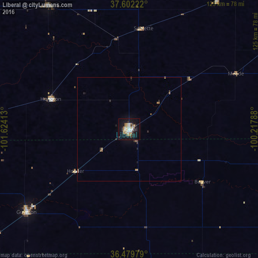
Analysis of Liberal night lights 2016
Square area 10x10 km:
 6.46%
6.46%90-99
5.78%80-89
4.59%70-79
4.25%60-69
4.93%50-59
1.19%40-49
2.38%30-39
3.74%20-29
1.7%10-19
39.97%0-9
25%Square area 50x50 km:
0.26%90-99
0.23%80-89
0.25%70-79
0.23%60-69
0.34%50-59
0.12%40-49
0.12%30-39
0.36%20-29
0.16%10-19
1.9%0-9
96.01%Clear (daylight) street map image can be seen on geolist.org.
Map coordinates:
37° 36' 8" North, 101° 37' 26.9" West
37° 2' 35.1" North, 100° 55' 15.6" West
36° 28' 47.2" North, 100° 13' 4.4" West
Some cities around Liberal sort by population:
• Dodge City
112.3 km =69.8 mi,  45°
45°
• Garden City
103.3 km =64.2 mi,  2°
2°
• Dumas
161.2 km =100.2 mi,  215°
215°
• Woodward
152.3 km =94.6 mi,  116°
116°
• Borger
158.8 km =98.7 mi,  195°
195°
• Guymon
64 km =39.8 mi,  231°
231°
• Perryton
72.3 km =44.9 mi,  171°
171°
• Ulysses
71.1 km =44.2 mi,  327°
327°
5445820 (p: 20,746)
Sources (retrieved 2019-11-25):
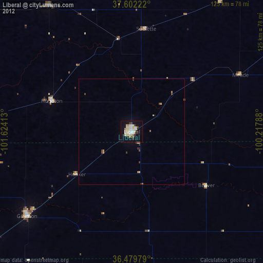
» Earth at Night: Flat Maps 2012, 2016