Pueblo night lights from space
Night Light of Pueblo (Colorado) from space (United States) Src. Average luminocity for 10x10km area is 71.7653% and for 50x50km: 7.4783%.
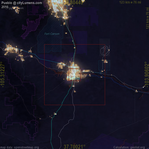
Analysis of Pueblo night lights 2016
Square area 10x10 km:
 11.22%
90-99
18.71%80-89
12.93%70-79
15.82%60-69
13.44%50-59
9.69%40-49
4.08%30-39
5.44%20-29
7.31%10-19
1.36%0-9
0%Square area 50x50 km:
0.7%90-99
1.12%80-89
0.79%70-79
1.45%60-69
1.23%50-59
1.12%40-49
0.99%30-39
1.3%20-29
2.16%10-19
4.66%0-9
84.48%Clear (daylight) street map image can be seen on geolist.org.
Map coordinates:
38° 48' 16.2" North, 105° 18' 44.2" West
38° 15' 16" North, 104° 36' 32.9" West
37° 42' 0.8" North, 103° 54' 21.7" West
Some cities around Pueblo sort by population:
• Colorado Springs
67 km =41.6 mi,  344°
344°
• Security-Widefield
55.6 km =34.5 mi,  350°
350°
• Fountain
48.2 km =30 mi, 350°
• Cañon City
59 km =36.7 mi,  290°
290°
• Cimarron Hills
67.6 km =42 mi, 353°
• Fort Carson
55.9 km =34.7 mi, 343°
• Stratmoor
59.6 km =37 mi, 345°
• Manitou Springs
72.4 km =45 mi, 338°
5435464 (p: 109,412)
Sources (retrieved 2019-11-25):
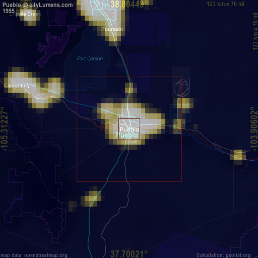
» NASA, Earths city lights 1995
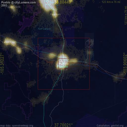
» NASA city lights 2003
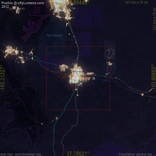
» Earth at Night: Flat Maps 2012, 2016