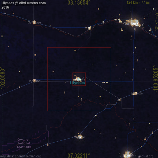
Ulysses night lights from space
Night Light of Ulysses (Kansas) from space (United States) Src. Average luminocity for 10x10km area is 14.0187% and for 50x50km: 0.8843%.
Analysis of Ulysses night lights 2016
Square area 10x10 km:
 1.7%
1.7%90-99
2.55%80-89
1.87%70-79
2.38%60-69
1.53%50-59
0.85%40-49
1.7%30-39
3.06%20-29
0%10-19
1.02%0-9
83.33%Square area 50x50 km:
0.09%90-99
0.11%80-89
0.16%70-79
0.12%60-69
0.1%50-59
0.08%40-49
0.15%30-39
0.18%20-29
0.07%10-19
0.11%0-9
98.83%Clear (daylight) street map image can be seen on geolist.org.
Map coordinates:
38° 8' 11.5" North, 102° 3' 29.9" West
37° 34' 53.1" North, 101° 21' 18.6" West
37° 1' 19.6" North, 100° 39' 7.4" West
Some cities around Ulysses sort by population:
• Dodge City
119.3 km =74.1 mi,  80°
80°
• Garden City
60.7 km =37.7 mi,  44°
44°
• Liberal
71.1 km =44.2 mi,  147°
147°
• Guymon
100.5 km =62.4 mi,  186°
186°
• Perryton
140.2 km =87.1 mi,  159°
159°
• Dalhart
198.1 km =123.1 mi,  211°
211°
• Lamar
124.6 km =77.4 mi,  296°
296°
• La Junta
197.5 km =122.7 mi,  283°
283°
5446683 (p: 6,097)
Sources (retrieved 2019-11-25):
» Earth at Night: Flat Maps 2012, 2016