La Junta night lights from space
Night Light of La Junta (Colorado) from space (United States) Src. Average luminocity for 10x10km area is 16.8149% and for 50x50km: 1.1131%.
Analysis of La Junta night lights 2016
Square area 10x10 km:
 2.27%
2.27%90-99
2.76%80-89
2.11%70-79
2.6%60-69
2.92%50-59
0.32%40-49
0.81%30-39
3.08%20-29
0.65%10-19
8.44%0-9
74.03%Square area 50x50 km:
0.09%90-99
0.11%80-89
0.14%70-79
0.21%60-69
0.18%50-59
0.12%40-49
0.13%30-39
0.27%20-29
0.08%10-19
0.35%0-9
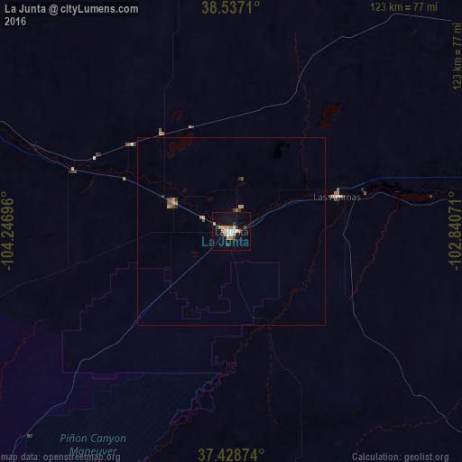
98.31%Clear (daylight) street map image can be seen on geolist.org.
Map coordinates:
38° 32' 13.6" North, 104° 14' 49.1" West
37° 59' 6" North, 103° 32' 37.8" West
37° 25' 43.5" North, 102° 50' 26.6" West
Some cities around La Junta sort by population:
• Pueblo
97.9 km =60.8 mi,  287°
287°
• Security-Widefield
132.7 km =82.5 mi,  309°
309°
• Pueblo West
110.8 km =68.8 mi, 291°
• Fountain
127.2 km =79 mi, 307°
• Fort Carson
137 km =85.1 mi, 307°
• Trinidad
123.8 km =76.9 mi,  222°
222°
• Lamar
81.6 km =50.7 mi,  81°
81°
• Stratmoor
138.9 km =86.3 mi, 309°
5427705 (p: 6,951)
Sources (retrieved 2019-11-25):
» Earth at Night: Flat Maps 2012, 2016