Pueblo West night lights from space
Night Light of Pueblo West (Colorado) from space (United States) Src. Average luminocity for 10x10km area is 20.7925% and for 50x50km: 7.2441%.
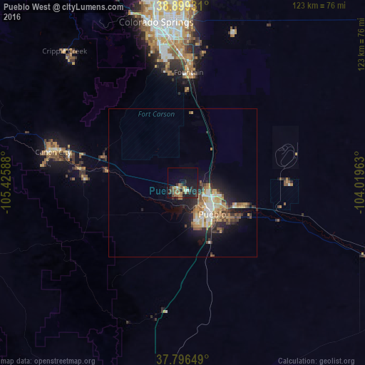
Analysis of Pueblo West night lights 2016
Square area 10x10 km:
 0.85%
0.85%90-99
1.19%80-89
1.87%70-79
4.25%60-69
4.25%50-59
2.72%40-49
5.1%30-39
5.1%20-29
6.63%10-19
17.69%0-9
50.34%Square area 50x50 km:
0.68%90-99
1.1%80-89
0.8%70-79
1.4%60-69
1.21%50-59
1.02%40-49
0.9%30-39
1.28%20-29
2.07%10-19
4.55%0-9
84.96%Clear (daylight) street map image can be seen on geolist.org.
Map coordinates:
38° 53' 57.5" North, 105° 25' 33.2" West
38° 21' 0" North, 104° 43' 21.9" West
37° 47' 47.4" North, 104° 1' 10.7" West
Some cities around Pueblo West sort by population:
• Colorado Springs
54.5 km =33.9 mi,  350°
350°
• Security-Widefield
44.2 km =27.5 mi,  0°
0°
• Fountain
37 km =23 mi, 2°
• Cañon City
46.4 km =28.8 mi,  282°
282°
• Cimarron Hills
56.6 km =35.2 mi, 2°
• Fort Carson
43.5 km =27 mi, 352°
• Stratmoor
47.4 km =29.5 mi, 354°
• Manitou Springs
59.1 km =36.7 mi,  343°
343°
5435477 (p: 29,637)
Sources (retrieved 2019-11-25):
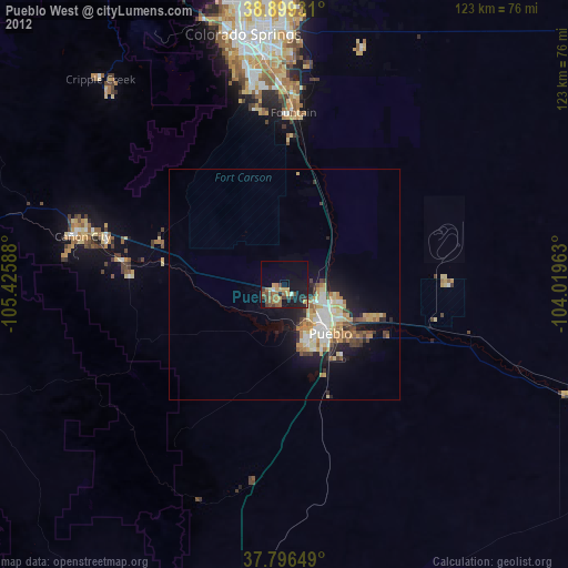
» Earth at Night: Flat Maps 2012, 2016