Lake Forest night lights from space
Night Light of Lake Forest (Illinois) from space (United States) Src. Average luminocity for 10x10km area is 49.0742% and for 50x50km: 45.1814%.
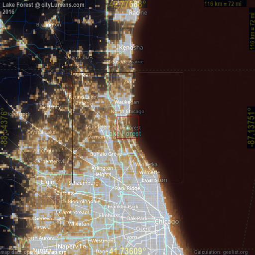
Analysis of Lake Forest night lights 2016
Square area 10x10 km:
 3.33%
3.33%90-99
5.45%80-89
6.97%70-79
5%60-69
12.58%50-59
24.09%40-49
9.7%30-39
2.12%20-29
9.39%10-19
14.85%0-9
6.52%Square area 50x50 km:
9.04%90-99
10.03%80-89
6.72%70-79
6.66%60-69
9.25%50-59
8.94%40-49
4.87%30-39
3.13%20-29
3.83%10-19
3.7%0-9
33.83%Clear (daylight) street map image can be seen on geolist.org.
Map coordinates:
42° 46' 36.8" North, 88° 32' 37.5" West
42° 15' 31.1" North, 87° 50' 26.3" West
41° 44' 9.9" North, 87° 8' 15" West
Some cities around Lake Forest sort by population:
• Waukegan
11.7 km =7.3 mi,  358°
358°
• Highland Park
9.2 km =5.7 mi,  158°
158°
• North Chicago
7.4 km =4.6 mi, 359°
• Libertyville
9.6 km =6 mi,  286°
286°
• Deerfield
9.7 km =6 mi,  181°
181°
• Park City
10.6 km =6.6 mi,  340°
340°
• Lincolnshire
9.5 km =5.9 mi,  216°
216°
• Highwood
7 km =4.3 mi, 158°
4899012 (p: 19,408)
Sources (retrieved 2019-11-25):
» Earth at Night: Flat Maps 2012, 2016