Highland Park night lights from space
Night Light of Highland Park (Illinois) from space (United States) Src. Average luminocity for 10x10km area is 53.6985% and for 50x50km: 49.2223%.
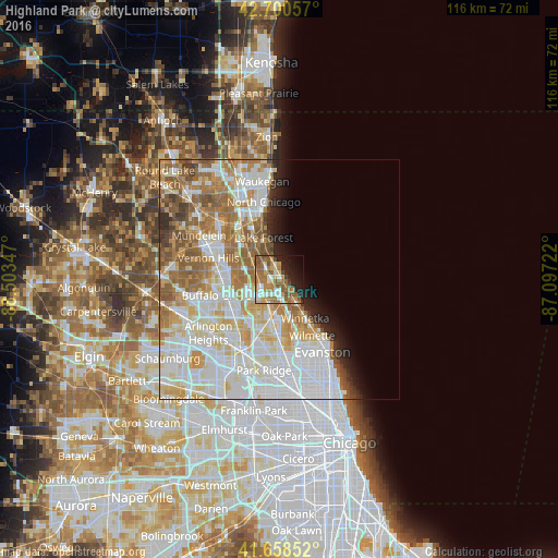
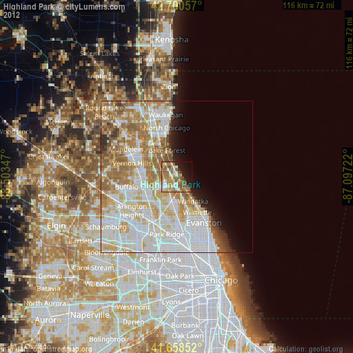
Analysis of Highland Park night lights 2016
Square area 10x10 km:
 8.79%
8.79%90-99
7.27%80-89
4.55%70-79
10.61%60-69
17.12%50-59
14.7%40-49
4.55%30-39
1.21%20-29
10.15%10-19
12.73%0-9
8.33%Square area 50x50 km:
15.96%90-99
12.54%80-89
6.7%70-79
5.81%60-69
7.5%50-59
6.11%40-49
2.52%30-39
1.45%20-29
2.51%10-19
3.29%0-9
35.62%Clear (daylight) street map image can be seen on geolist.org.
Map coordinates:
42° 42' 2.1" North, 88° 30' 12.5" West
42° 10' 54.1" North, 87° 48' 1.2" West
41° 39' 30.7" North, 87° 5' 50" West
Some cities around Highland Park sort by population:
• Northbrook
6.5 km =4 mi,  201°
201°
• Lake Forest
9.2 km =5.7 mi,  338°
338°
• Deerfield
3.8 km =2.4 mi,  252°
252°
• Winnetka
9.8 km =6.1 mi,  147°
147°
• Glencoe
6.2 km =3.9 mi, 146°
• Lincolnshire
9 km =5.6 mi,  275°
275°
• Northfield
9.3 km =5.8 mi,  170°
170°
• Highwood
2.1 km =1.3 mi, 339°
4895876 (p: 29,743)
Sources (retrieved 2019-11-25):
» Earth at Night: Flat Maps 2012, 2016